


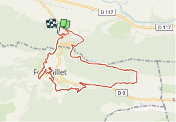

15,2 km | 21 km-effort

Benutzer


Kostenlosegpshiking-Anwendung
 SityTrail
IGN / Geografische Institute
SityTrail World
Die Welt öffnet sich für Sie
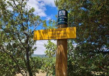
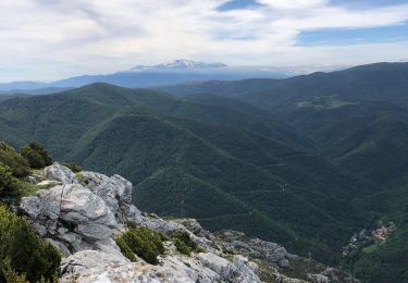
Tour Wandern von 12,3 km verfügbar auf Okzitanien, Ostpyrenäen, Caudiès-de-Fenouillèdes. Diese Tour wird von jcmartin vorgeschlagen.
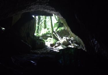
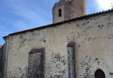
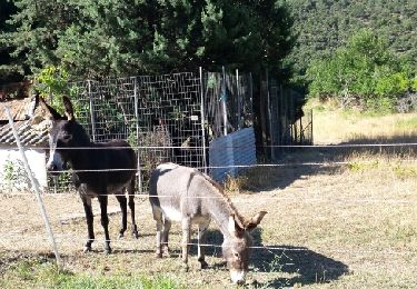
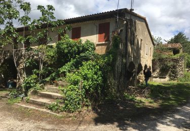
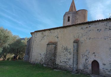
Petite boucle avec visite de la tour Sabarda et du château St Pierre et de l'église de Fenouillet. Au départ de la randonnée il y a aussi les ruines du Castel-Fizel mais nous n'avons pas trouvé le chemin d'accès


Wandern
Wandern
Wandern
Wandern
Wandern
Wandern
Wandern
Wandern
Wandern