


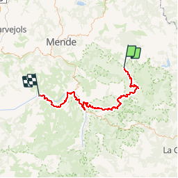

38 km | 47 km-effort


Benutzer


Kostenlosegpshiking-Anwendung
 SityTrail
IGN / Geografische Institute
SityTrail World
Die Welt öffnet sich für Sie
Tour Mountainbike von 75 km verfügbar auf Okzitanien, Lozère, Cubières. Diese Tour wird von tracegps vorgeschlagen.
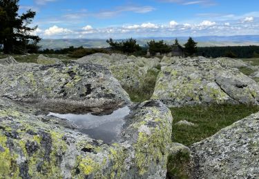
La Grande Traversée du Massif Central par Claire et ses amis. En douze étapes, revivez cette aventure sur son site. Septième étape: mardi 08 Août 2006. Retrouvez le résumé de la journée, les conseils et les photos ICI


Mountainbike

Wandern

Wandern

Wandern

Wandern

Wandern

Wandern
Elektrofahrrad
Wandern