

St-Sozy

tracegps
Benutzer

Länge
8 km

Maximale Höhe
240 m

Positive Höhendifferenz
301 m

Km-Effort
12 km

Min. Höhe
98 m

Negative Höhendifferenz
305 m
Boucle
Ja
Erstellungsdatum :
2014-12-10 00:00:00.0
Letzte Änderung :
2014-12-10 00:00:00.0
2h00
Schwierigkeit : Medium

Kostenlosegpshiking-Anwendung
Über SityTrail
Tour Wandern von 8 km verfügbar auf Okzitanien, Lot, Saint-Sozy. Diese Tour wird von tracegps vorgeschlagen.
Beschreibung
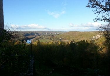
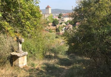
Petite boucle considéré comme "sportive", la montée sur les falaises est la portion la plus difficile mais la beauté du paysage sur la vallée de la Dordogne nous fait vite oublier les efforts fournis. D'autres infos et conseils sur Rando.eu
Ort
Land:
France
Region :
Okzitanien
Abteilung/Provinz :
Lot
Kommune :
Saint-Sozy
Standort:
Unknown
Gehen Sie:(Dec)
Gehen Sie:(UTM)
386664 ; 4970683 (31T) N.
Kommentare
Touren in der Umgebung
Gluges Rocamadour


Elektrofahrrad
Einfach
Martel,
Okzitanien,
Lot,
France

53 km | 64 km-effort
4h 22min
Ja
Gouffre et résurgence du Limon - Grottes de Lacave


Zu Fuß
Einfach
Lacave,
Okzitanien,
Lot,
France

14,4 km | 19,6 km-effort
4h 26min
Ja
Saint Sozy -


Wandern
Sehr schwierig
Saint-Sozy,
Okzitanien,
Lot,
France

13,8 km | 20 km-effort
4h 15min
Ja
Causse toujours


Wandern
Schwierig
Montvalent,
Okzitanien,
Lot,
France

17,2 km | 23 km-effort
4h 30min
Ja

Pont de l'Ouysse Cougnaguet


Wandern
Sehr leicht
Lacave,
Okzitanien,
Lot,
France

13,9 km | 16,5 km-effort
3h 32min
Ja
Gluges- Gluges par St Sozy, Pinsac, Lacave, Meyronne, Creysse.


Mountainbike
Sehr schwierig
(1)
Martel,
Okzitanien,
Lot,
France

35 km | 45 km-effort
3h 23min
Ja


 SityTrail


Belle rando mais nous avons perdu le chemin à 2 reprises dans la 1ère montée.
attention au départ prendre la déviation 2011 conseillée sinon galère
très belles vues