


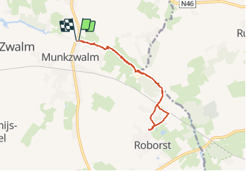


9 km | 10,2 km-effort

Benutzer


Kostenlosegpshiking-Anwendung
 SityTrail
IGN / Geografische Institute
SityTrail World
Die Welt öffnet sich für Sie
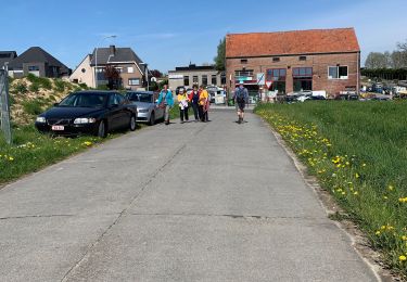
Tour Wandern von 6 km verfügbar auf Flandern, Ostflandern, Zwalm. Diese Tour wird von maarten.avet vorgeschlagen.
Van Muinkzwalm naar Roborst en terug langs de idyllische oevers van de Zwalmbeek. Deze wandeling gedaan in de zomer in alle rust! Geen buggy's mogelijk


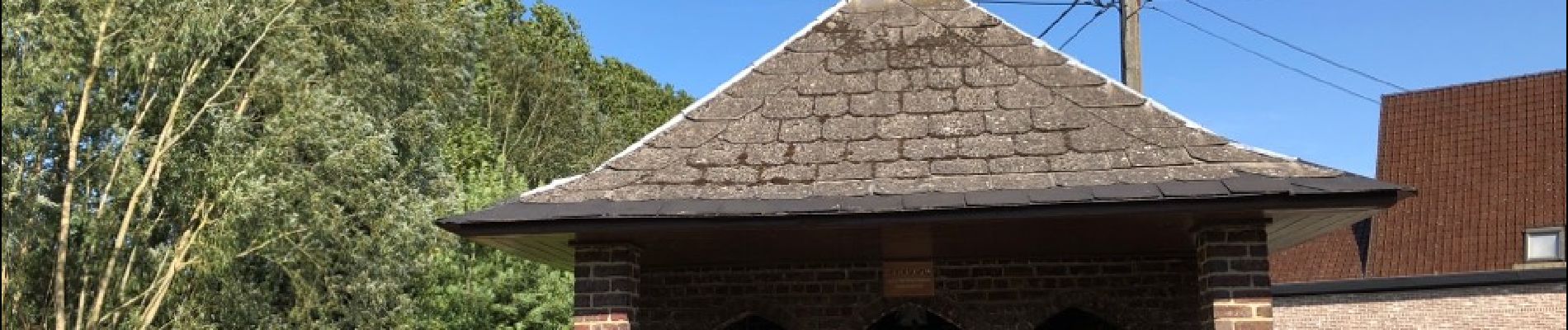
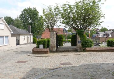
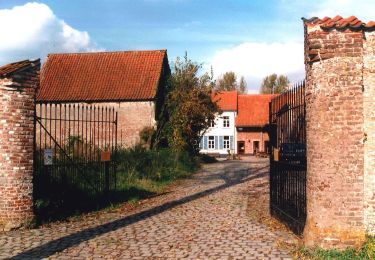
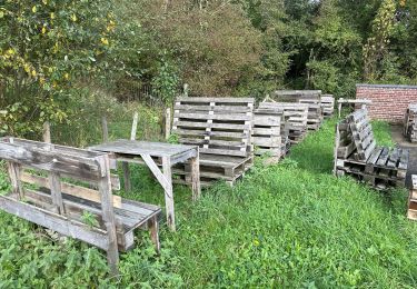
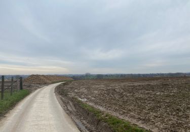
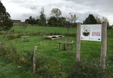
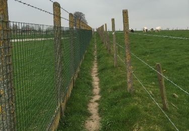
25 Fotos insgesamt. Klicken Sie auf ein Foto, um sie alle in der Galerie zu sehen.
Zu Fuß
Zu Fuß
Wandern
Wandern
Wandern
Wandern
Wandern


sport

Wandern