


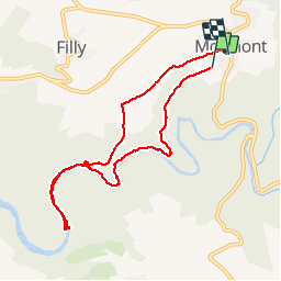

13,4 km | 18,8 km-effort


Benutzer


Kostenlosegpshiking-Anwendung
 SityTrail
IGN / Geografische Institute
SityTrail World
Die Welt öffnet sich für Sie
Tour Wandern von 8 km verfügbar auf Wallonien, Luxemburg, Hohenfels. Diese Tour wird von PhilippeWinant vorgeschlagen.
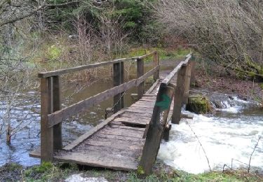
Eerste 150 m niet geregistreerd. Vrij moeilijk. Langs ourthe wat netels. Uitbreiding naar vistrap inclusief (ca 35 minuten)
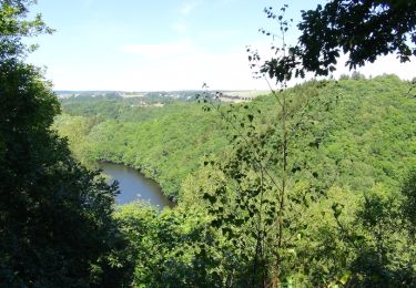
Wandern

Wandern

Wandern
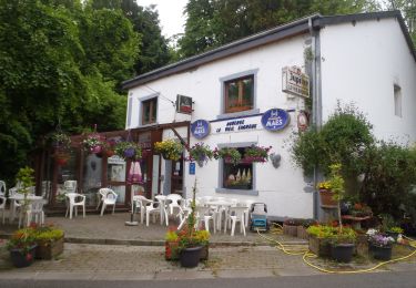
Wandern
Wandern

Wandern
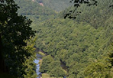
Wandern

Wandern
Wandern