


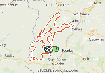

6,9 km | 10,6 km-effort


Benutzer


Kostenlosegpshiking-Anwendung
 SityTrail
IGN / Geografische Institute
SityTrail World
Die Welt öffnet sich für Sie
Tour Mountainbike von 51 km verfügbar auf Großer Osten, Unterelsass, Blen. Diese Tour wird von tracegps vorgeschlagen.
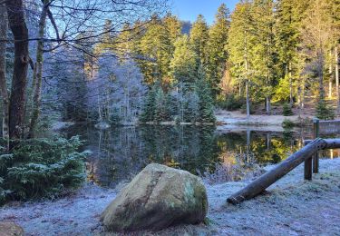
Ce circuit est très roulant. Les chemins sont souvent carrossables, sablonneux et dégagés d'arbres. La seule difficulté technique se situe près de la M.F. à Bambois. Vous allez traverser un ruisseau et vous vous retrouverez juste derrière dans un raidillon très empierré. Ce parcours comporte deux montées principales. La première se situe après Albet et la seconde après l'Etang du Coucou. Elles ne présentent pas de difficultés si ce n'est qu'elles sont longues et nécessitent du souffle. Source A.S.T.T. Plaine D'autres infos ICI


Wandern
Wandern
Wandern
Wandern
Wandern
Reiten
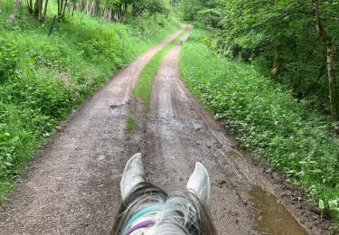
Reiten
Wandern

Wandern