


12,8 km | 26 km-effort

Benutzer


Kostenlosegpshiking-Anwendung
 SityTrail
IGN / Geografische Institute
SityTrail World
Die Welt öffnet sich für Sie
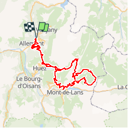
Tour Mountainbike von 93 km verfügbar auf Auvergne-Rhone-Alpen, Isère, Oz. Diese Tour wird von tracegps vorgeschlagen.
La boucle démarre à Oz-en-Oisans puis se poursuit via l'Alpe d'Huez (au centre à gauche), le Col de Cluy (au sud de l'Alpes), le barrage du Lac du Chambon, le plateau d'Emparis (boucle de droite), Clavans le Bas, le Col de Sarenne et de nouveau l'Alpe d'Huez et Oz-en-Oisans D'autres infos ici


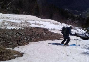
Wandern
Wandern
Wandern
Wandern
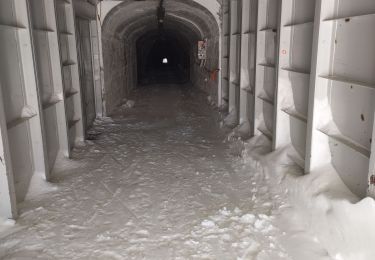
Schneeschuhwandern
Skiwanderen
Skiwanderen
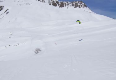
Skiwanderen
Skiwanderen