


19,1 km | 36 km-effort

Benutzer


Kostenlosegpshiking-Anwendung
 SityTrail
IGN / Geografische Institute
SityTrail World
Die Welt öffnet sich für Sie
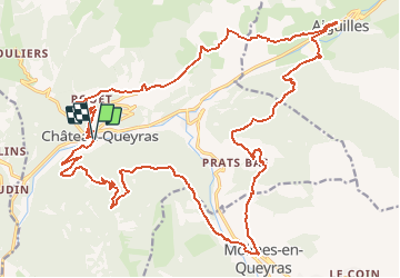
Tour Mountainbike von 32 km verfügbar auf Provence-Alpes-Côte d'Azur, Hochalpen, Château-Ville-Vieille. Diese Tour wird von tracegps vorgeschlagen.
Le départ se fait de Château Queyras, car c'est un point central des divers parcours VTT et bitumeux du Queyras. En plus, l'avantage, c'est que toutes les routes revenant vers Château Queyras sont en profil descendant. Cela facilite la sortie, de savoir que le retour sera plus facile que l'aller.


Wandern
Wandern

Wandern
Schneeschuhwandern
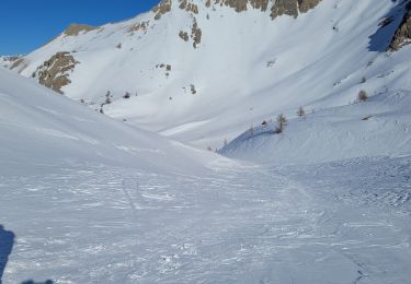
Schneeschuhwandern
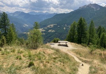
Wandern

Wandern
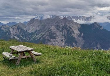
Wandern
Schneeschuhwandern