


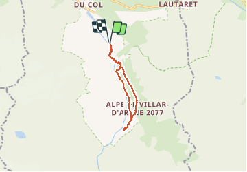

6 km | 9,4 km-effort

Benutzer GUIDE


Kostenlosegpshiking-Anwendung
 SityTrail
IGN / Geografische Institute
SityTrail World
Die Welt öffnet sich für Sie
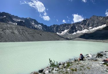
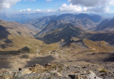
Tour Wandern von 10 km verfügbar auf Provence-Alpes-Côte d'Azur, Hochalpen, Villar-d'Arêne. Diese Tour wird von amiral13 vorgeschlagen.
jolie balade en famille qui ne comporte aucune difficulté.
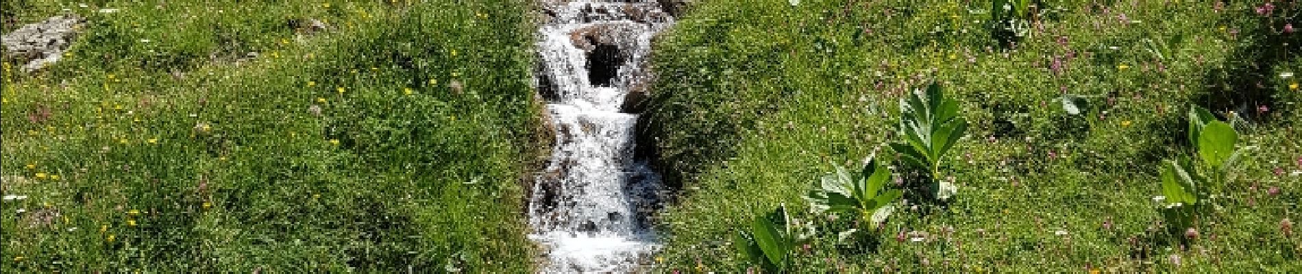
Troupeaux de vache et marmottes à volonté.


Wandern

Skiwanderen

Wandern

Wandern

Wandern

Wandern

Wandern
Wandern
Wandern
Attention aux troupeaux de vache