


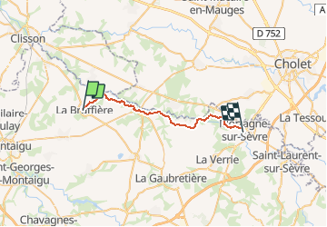

12,1 km | 13,8 km-effort


Benutzer


Kostenlosegpshiking-Anwendung
 SityTrail
IGN / Geografische Institute
SityTrail World
Die Welt öffnet sich für Sie
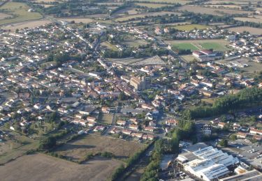
Tour Mountainbike von 25 km verfügbar auf Pays de la Loire, Vendée, La Bruffière. Diese Tour wird von tracegps vorgeschlagen.
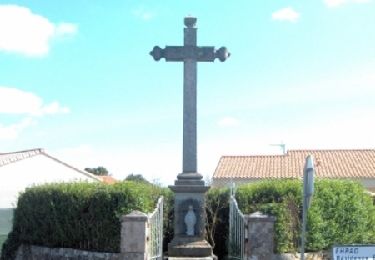
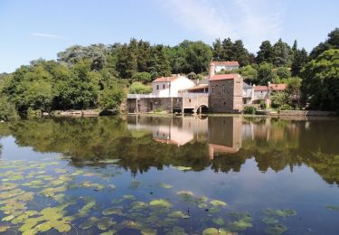
Départ : Place de l'Eglise à la Bruffière Niveau : Assez difficile - accessible VTC Curiosités : Points de vue sur la vallée entre La Bruffière et Tiffauges, château de Tiffauges..
Zu Fuß
Wandern
Mountainbike

Mountainbike
Mountainbike
Mountainbike
Wandern
Wandern
Wandern