


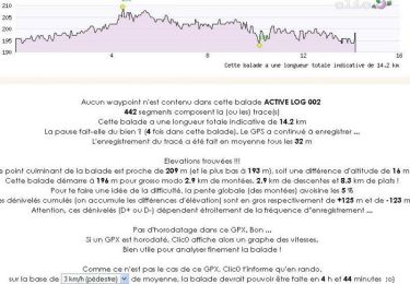
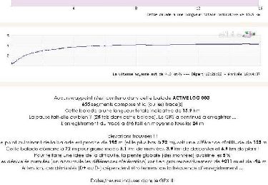
14,2 km | 15 km-effort


Benutzer


Kostenlosegpshiking-Anwendung
 SityTrail
IGN / Geografische Institute
SityTrail World
Die Welt öffnet sich für Sie
Tour Laufen von 13,6 km verfügbar auf Okzitanien, Haute-Garonne, Lavernose-Lacasse. Diese Tour wird von tracegps vorgeschlagen.
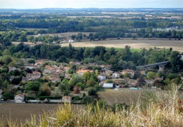
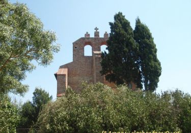
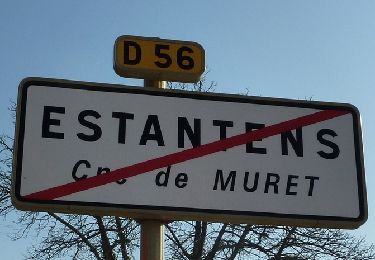
Petite commune au sud de Toulouse, Lavernose Lacasse brille par ses chemins plats non loin de la Garonne. On trace à travers champs non loin des lacs formés par les exploitations sablières. Circuit tranquille pour souffler entre deux courses de cotes !

Wandern
Wandern

Wandern

Mountainbike
Wandern
Wandern
Wandern
Wandern
Wandern