


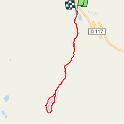

6,2 km | 8,6 km-effort


Benutzer


Kostenlosegpshiking-Anwendung
 SityTrail
IGN / Geografische Institute
SityTrail World
Die Welt öffnet sich für Sie
Tour Wandern von 6,9 km verfügbar auf Auvergne-Rhone-Alpen, Savoyen, Les Belleville. Diese Tour wird von gilsep vorgeschlagen.
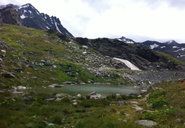
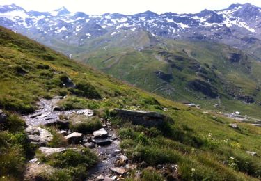
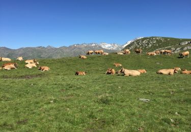
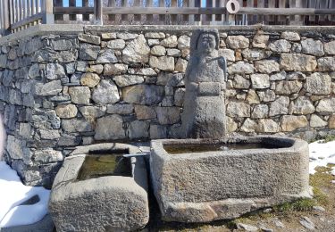
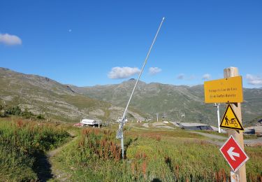
Jolie promenade dans l'alpage et tour du lac du lou.
Départ du parking des bruyères ou du plan de l'eau.
Chemin bien balisé, pas de difficulté particulière. Attention autour du lac, certaines pierres sont glissantes
Wandern
Wandern
Wandern

Wandern
Wandern

Wandern

Wandern
Wandern

Wandern