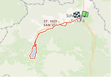


4,8 km | 8,1 km-effort

Benutzer


Kostenlosegpshiking-Anwendung
 SityTrail
IGN / Geografische Institute
SityTrail World
Die Welt öffnet sich für Sie
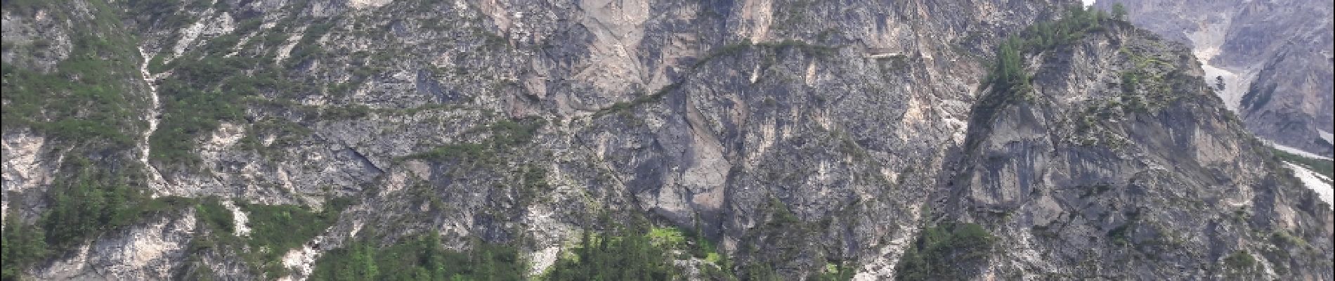
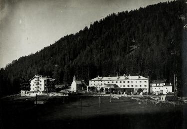
Tour Wandern von 15,3 km verfügbar auf Trentino-Südtirol, Bozen, Prags. Diese Tour wird von VacheKiri67 vorgeschlagen.
Faite le 16/07/2018 avec notre fils Théo de 13 ans. D'après "Seerunde am Pragser Wildsee" du site www.sentres.com.


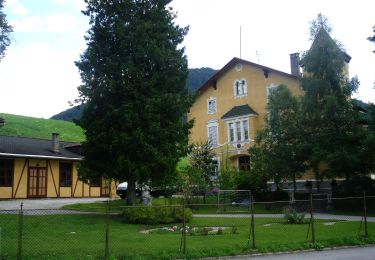
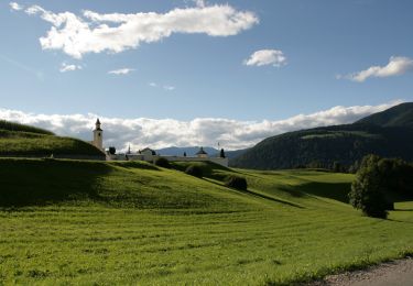
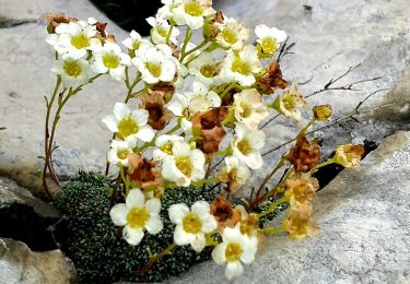
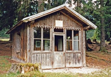
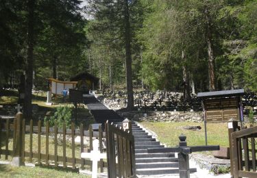
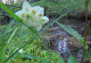
35 Fotos insgesamt. Klicken Sie auf ein Foto, um sie alle in der Galerie zu sehen.
Zu Fuß
Zu Fuß
Zu Fuß


Zu Fuß