


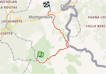

15,4 km | 32 km-effort


Benutzer GUIDE


Kostenlosegpshiking-Anwendung
 SityTrail
IGN / Geografische Institute
SityTrail World
Die Welt öffnet sich für Sie
Tour Wandern von 11,3 km verfügbar auf Provence-Alpes-Côte d'Azur, Hochalpen, Val-des-Prés. Diese Tour wird von amiral13 vorgeschlagen.
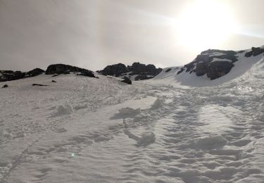
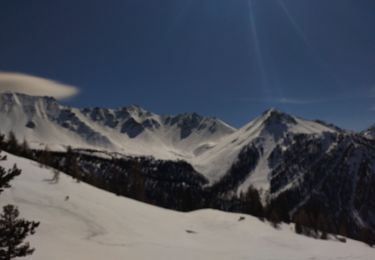
Désolé pour les puristes mais nous avons utilisé les remontées mécaniques jusqu'au sommet des anges. ceci nous a évité le parcours pas forcément très intéressant sur les pistes de ski.


Wandern

Mountainbike

Wandern
Skiwanderen

Wandern
Wandern
Skiwanderen

Skiwanderen

Wandern