


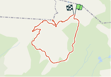

9,6 km | 20 km-effort

Benutzer


Kostenlosegpshiking-Anwendung
 SityTrail
IGN / Geografische Institute
SityTrail World
Die Welt öffnet sich für Sie
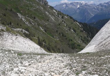
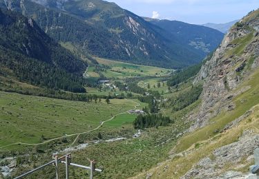
Tour Wandern von 4,5 km verfügbar auf Auvergne-Rhone-Alpen, Savoyen, Peisey-Nancroix. Diese Tour wird von BernardThiry vorgeschlagen.
belle randonnée courte par les pâturages puis col de l'entreporte et remontée vers l'aiguille grive et retour colde la chal


Zu Fuß
Wandern
Skiwanderen

Wandern
Wandern
Wandern
Schneeschuhwandern
Schneeschuhwandern
Wandern