


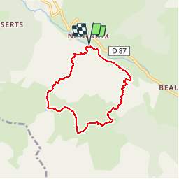

9,6 km | 20 km-effort

Benutzer


Kostenlosegpshiking-Anwendung
 SityTrail
IGN / Geografische Institute
SityTrail World
Die Welt öffnet sich für Sie
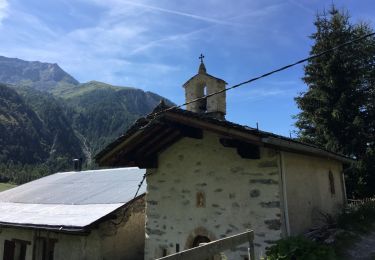
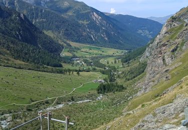
Tour Wandern von 6,9 km verfügbar auf Auvergne-Rhone-Alpen, Savoyen, Peisey-Nancroix. Diese Tour wird von BernardThiry vorgeschlagen.
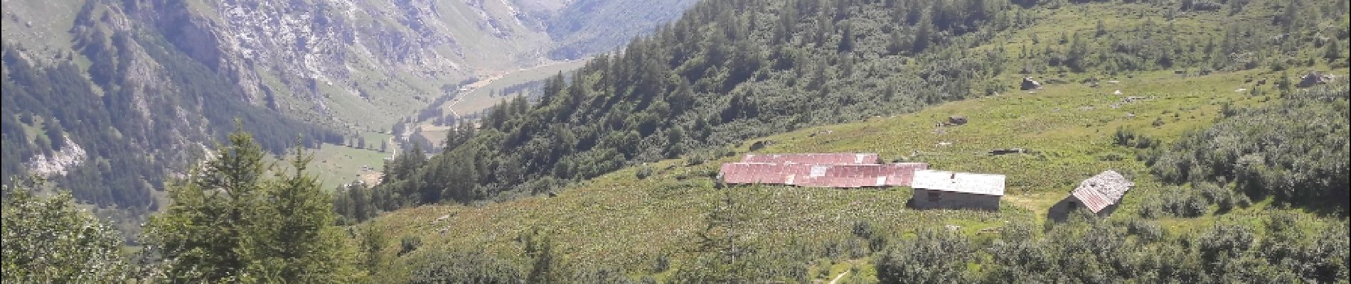
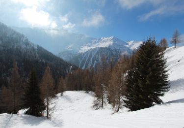
avec montée dans les sapins superbe vue au sur le Mont Blanc flore exceptionnelle belle boucle


Zu Fuß
Wandern
Skiwanderen

Wandern
Wandern
Wandern
Schneeschuhwandern
Schneeschuhwandern
Wandern
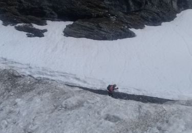
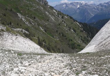
La récompense est belle. Mais la montée est raide et plus longue qu'indiqué sur le panneau : 2,5 km et 2 bonnes heures de montée.