Startseite
World
NEW
Premium
Speichern Sie
Touren
Artikel
Hilfe - Unterstützung
Français
English
Nederlands
Español
Italiano
Deutsch
Verbindung
Startseite
World
Premium
Speichern Sie
Touren
Artikel
Hilfe - Unterstützung
SityTrail
>
POIs
>
GC1187M
SityTrail
>
POIs
>
GC1187M
GC1187M
Beschreibung
PCT GB2 "Terrific Safary GPS"
Foto-Galerie
Erkunden Sie GC1187M mit den folgenden Touren...
tracegps
Col du Souffre et Lacs Mont-Coua
Wandern
Schwierig
(1)
Les Allues, Auvergne-Rhone-Alpen, Savoyen, France
25 km | 41 km-effort
7h 0min
Ja
tracegps
Benutzer
©
OpenStreetMap
contributors
Ort
Land:
France
Region :
Auvergne-Rhone-Alpen
Abteilung/Provinz :
Drôme
Kommune :
Reilhanette
Standort:
Unknown
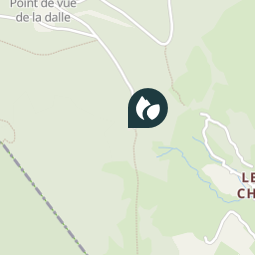
Ort
44.155583018 / 5.423066961
Erstellungsdatum :
2018-04-09 12:23:11.475
Letzte Änderung
2018-04-09 12:23:11.475
(0 Nachricht)
Kommentare
Bitte melden Sie sich an, um einen Kommentar oder eine Bewertung zu hinterlassen
POI's in der Nähe
tracegps
GC1187M
REILHANETTE
tracegps
GC174C7
AUREL
tracegps
GC17462
AUREL
jccardon
OR-1671813:Indignés 2 154.613
REILHANETTE
jccardon
Montbrun
MONTBRUN-LES-BAINS
jccardon
Arrivée
MONTBRUN-LES-BAINS
jccardon
Montbrun
MONTBRUN-LES-BAINS
jccardon
Arrivée
MONTBRUN-LES-BAINS
Schließen
Meine Abonnements