Startseite
World
NEW
Premium
Speichern Sie
Touren
Artikel
Hilfe - Unterstützung
Français
English
Nederlands
Español
Italiano
Deutsch
Verbindung
Startseite
World
Premium
Speichern Sie
Touren
Artikel
Hilfe - Unterstützung
SityTrail
>
POIs
>
Chemin bloqué
SityTrail
>
POIs
>
Chemin bloqué
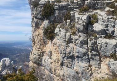
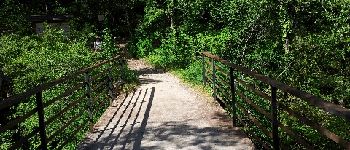
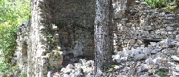
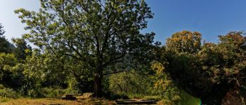
Chemin bloqué
Beschreibung
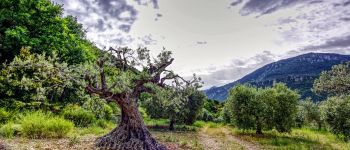
Foto-Galerie
Erkunden Sie Chemin bloqué mit den folgenden Touren...
GUIDE
Kargil
2023-03-17 Montagne de Beyne
Wandern
Medium
Beynes, Provence-Alpes-Côte d'Azur, Alpes-de-Haute-Provence, France
14,4 km | 26 km-effort
6h 28min
Ja
Kargil
Benutzer
GUIDE
©
OpenStreetMap
contributors
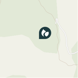
Ort
Land:
France
Region :
Provence-Alpes-Côte d'Azur
Abteilung/Provinz :
Alpes-de-Haute-Provence
Kommune :
Beynes
Standort:
Unknown
Ort
43.98432341840348 / 6.240191459655762
Erstellungsdatum :
2023-03-17 18:10:49.604
Letzte Änderung
2023-03-17 18:16:44.589
(0 Nachricht)
Richtungsangaben
Kommentare
Bitte melden Sie sich an, um einen Kommentar oder eine Bewertung zu hinterlassen
POI's in der Nähe
Manu Le Gronk
Pont dit Romain
BEYNES
xmayeur
Point
ESTOUBLON
xmayeur
four à pain
ESTOUBLON
Manu Le Gronk
Frêne des ruines du Château...
ESTOUBLON
Manu Le Gronk
Unnamed POI
ESTOUBLON
PITOUSSAINT
Point 1
MAJASTRES
tracegps
Départ
DIGNE-LES-BAINS
slivoide
OR-1639571:terres noires br...
MARCOUX
Schließen
Meine Abonnements