


24 km | 33 km-effort
Briançon : Entdecken Sie die besten Touren : 3 fahrrad, 17 rennrad, 27 mountainbike, 1 hybrid-bike und 4 elektrofahrrad. Alle diese Touren, Trails, Routen und Outdoor-Aktivitäten sind in unseren SityTrail-Apps für Smartphones und Tablets verfügbar.
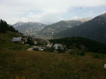
Mountainbike


Mountainbike
Rennrad
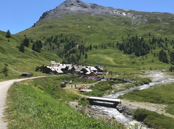
Mountainbike
Mountainbike
•
Mountainbike
•
Rennrad
Fahrrad
Mountainbike
•
Mountainbike
Mountainbike
Mountainbike
Mountainbike
Mountainbike
Rennrad
Rennrad
Mountainbike
Mountainbike
Mountainbike
Mountainbike
20 Angezeigte Touren bei 51
Kostenlosegpshiking-Anwendung
 SityTrail
IGN / Geografische Institute
SityTrail World
Die Welt öffnet sich für Sie