


24 km | 32 km-effort
Hotonnes : Entdecken Sie die besten Touren : 7 fahrrad und 12 mountainbike. Alle diese Touren, Trails, Routen und Outdoor-Aktivitäten sind in unseren SityTrail-Apps für Smartphones und Tablets verfügbar.
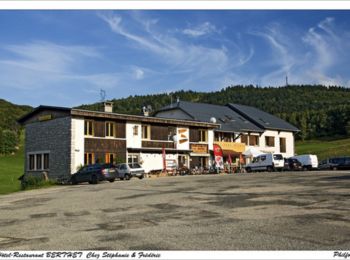
Mountainbike


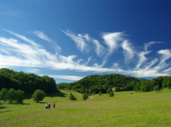
Mountainbike
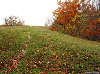
Mountainbike

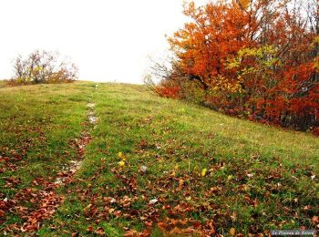
Mountainbike
Mountainbike

Mountainbike
Mountainbike
Fahrrad
• Col de la Biche Col du Grand Colombier (Anglefort - Seyssel)
Fahrrad
• Col de Richemond Col du Grand Colombier (Culoz)
Fahrrad
• Col de Cuvillat Col de Ballon Col du Grand Colombier (Culoz)

Mountainbike
Mountainbike
Mountainbike
Mountainbike
Mountainbike
Fahrrad
Fahrrad
Fahrrad
Fahrrad
19 Angezeigte Touren bei 19
Kostenlosegpshiking-Anwendung
 SityTrail
IGN / Geografische Institute
SityTrail World
Die Welt öffnet sich für Sie