


21 km | 22 km-effort
Département d'Oussouye : Entdecken Sie die besten Touren : 5 zu Fuß. Alle diese Touren, Trails, Routen und Outdoor-Aktivitäten sind in unseren SityTrail-Apps für Smartphones und Tablets verfügbar.
 20.694
sport


 9.074
9.074
sport
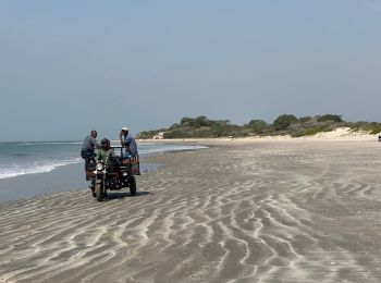
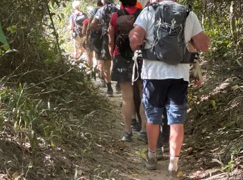
Wandern

Wandern
 16.861
sport
7.274
sport
7.768
sport
14.527
sport
18.546
sport
Wandern
Wandern
Wandern
12 Angezeigte Touren bei 12
Kostenlosegpshiking-Anwendung
 SityTrail
IGN / Geografische Institute
SityTrail World
Die Welt öffnet sich für Sie