


21 km | 22 km-effort
Senegal : Entdecken Sie die 29 besten Wander- und Radtouren. Unser Katalog, der komplett von Wanderern und Tourenradlern kuratiert wurde, ist voll von wunderschönen Landschaften, die nur darauf warten, erkundet zu werden. Downloaden Sie diese Routen in SityTrail, unserer kostenlosen gps-Wander-App, die für Android und iOS verfügbar ist.
 20.694
sport


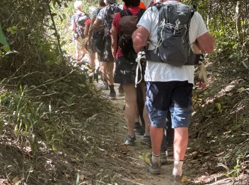
Wandern
 9.074
9.074
sport
Wandern


Wandern
 16.861
sport
7.274
sport
7.768
sport
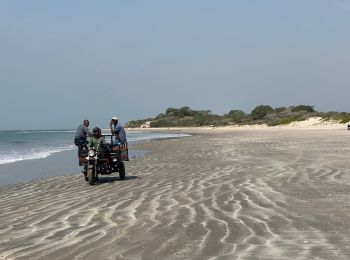
Auto
Quad
14.527
sport
18.546
sport
Wandern
Wandern
20 Angezeigte Touren bei 29
Kostenlosegpshiking-Anwendung
 SityTrail
IGN / Geografische Institute
SityTrail World
Die Welt öffnet sich für Sie