


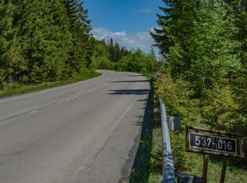
4 km | 4,9 km-effort
Bezirk Deutschendorf : Entdecken Sie die besten Touren : 12 zu Fuß. Alle diese Touren, Trails, Routen und Outdoor-Aktivitäten sind in unseren SityTrail-Apps für Smartphones und Tablets verfügbar.
Zu Fuß


• Tour erstellt von Lesy mesta Spišská Belá, s.r.o.. Website: https://spisskabela.sk/navstevnik/vylety-do-okolia/nau...
Zu Fuß
• Symbol: education
Zu Fuß
• Symbol: education
Zu Fuß
• Tour erstellt von OZVA. Symbol: education
Zu Fuß
• Symbol: education
Zu Fuß
• Tour erstellt von KST.
Zu Fuß
• Tour erstellt von KST. Symbol: education
Zu Fuß
• Tour erstellt von KST. Symbol: education
Zu Fuß
• Tour erstellt von KST. Symbol: roundtrip
Zu Fuß

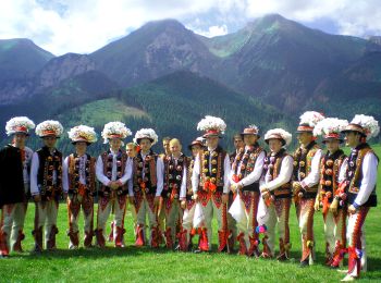
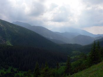
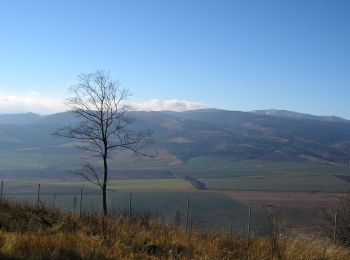
Wandern
Wandern
• La randonnée se termine avec la prise du téléphérique
12 Angezeigte Touren bei 12
Kostenlosegpshiking-Anwendung
 SityTrail
IGN / Geografische Institute
SityTrail World
Die Welt öffnet sich für Sie