![](/images/other/stat-length.png)
- Touren
- Outdoor
- Portugal
- Nord
- Viana do Castelo
- Sistelo
Sistelo, Viana do Castelo: Die besten Touren, Trails, Trecks und Wanderungen
Sistelo : Entdecken Sie die besten Touren : 6 zu Fuß. Alle diese Touren, Trails, Routen und Outdoor-Aktivitäten sind in unseren SityTrail-Apps für Smartphones und Tablets verfügbar.
Die besten Spuren (6)
![Tour Zu Fuß Sistelo - Trilho das Brandas de Sistelo - Photo](https://media.geolcdn.com/t/350/260/76fd811b-a088-4a54-b33a-70504515e5e0.jpeg&format=jpg&maxdim=2)
![Zu Fuß Zu Fuß](https://static1.geolcdn.com/sitytour/trail-icons/100.png)
Km
Zu Fuß
![](/images/other/stat-length.png)
![](https://static1.geolcdn.com/siteimages/upload/files/1508320355ic_sort_den_pos_24dp.png)
![](https://static1.geolcdn.com/siteimages/upload/files/1508320355ic_sort_den_neg_24dp.png)
![](https://static1.geolcdn.com/siteimages/upload/files/16400158638029165_repeat_loop_refresh_sync_direction_icon.png)
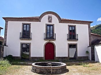
• Trail created by Camara Municipal dos Arcos de Valdevez. Website: http://trilhos.arcosdevaldevez.pt/activities/tri...
![Tour Zu Fuß Sistelo - Trilho do Miradouro da Estrica - Photo](https://media.geolcdn.com/t/350/260/d78ba4b4-13ce-45da-bda2-951e81e4a93e.jpeg&format=jpg&maxdim=2)
![Zu Fuß Zu Fuß](https://static1.geolcdn.com/sitytour/trail-icons/100.png)
Km
Zu Fuß
![](/images/other/stat-length.png)
![](https://static1.geolcdn.com/siteimages/upload/files/1508320355ic_sort_den_pos_24dp.png)
![](https://static1.geolcdn.com/siteimages/upload/files/1508320355ic_sort_den_neg_24dp.png)
![](https://static1.geolcdn.com/siteimages/upload/files/16400158638029165_repeat_loop_refresh_sync_direction_icon.png)
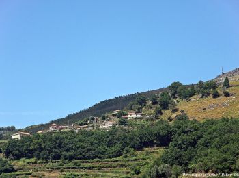
• Website: http://trilhos.arcosdevaldevez.pt/activities/trilho-do-miradouro-da-estrica/
![Tour Zu Fuß Sistelo - Trilho dos Socalcos do Sistelo - Photo](https://media.geolcdn.com/t/350/260/aeecdbb0-2f8d-472d-be3c-927379d40516.jpeg&format=jpg&maxdim=2)
![Zu Fuß Zu Fuß](https://static1.geolcdn.com/sitytour/trail-icons/100.png)
Km
Zu Fuß
![](/images/other/stat-length.png)
![](https://static1.geolcdn.com/siteimages/upload/files/1508320355ic_sort_den_pos_24dp.png)
![](https://static1.geolcdn.com/siteimages/upload/files/1508320355ic_sort_den_neg_24dp.png)
![](https://static1.geolcdn.com/siteimages/upload/files/16400158638029165_repeat_loop_refresh_sync_direction_icon.png)
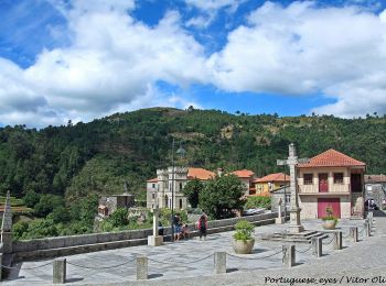
• Trail created by Camara Municipal dos Arcos de Valdevez. Symbol: Yellow over Red Website: http://trilhos.arcosdeva...
![Tour Zu Fuß Sistelo - Trilho do Glaciar e do Alto Vez - Photo](https://media.geolcdn.com/t/350/260/bd21fd9d-3afa-47c4-a126-6b39aa6f99a8.jpeg&format=jpg&maxdim=2)
![Zu Fuß Zu Fuß](https://static1.geolcdn.com/sitytour/trail-icons/100.png)
Km
Zu Fuß
![](/images/other/stat-length.png)
![](https://static1.geolcdn.com/siteimages/upload/files/1508320355ic_sort_den_pos_24dp.png)
![](https://static1.geolcdn.com/siteimages/upload/files/1508320355ic_sort_den_neg_24dp.png)
![](https://static1.geolcdn.com/siteimages/upload/files/16400158638029165_repeat_loop_refresh_sync_direction_icon.png)
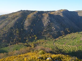
• Trail created by Ardal. Symbol: Yellow over Red Website: http://trilhos.arcosdevaldevez.pt/activities/trilho-do-gl...
![Tour Zu Fuß Sistelo - Rota de Montanha Entre Brandas - Photo](https://media.geolcdn.com/t/350/260/ext.jpg?maxdim=2&url=https%3A%2F%2Fstatic1.geolcdn.com%2Fsiteimages%2Fupload%2Ffiles%2F1545311037marcheuse_200dpi.jpg)
![Zu Fuß Zu Fuß](https://static1.geolcdn.com/sitytour/trail-icons/100.png)
Km
Zu Fuß
![](/images/other/stat-length.png)
![](https://static1.geolcdn.com/siteimages/upload/files/1508320355ic_sort_den_pos_24dp.png)
![](https://static1.geolcdn.com/siteimages/upload/files/1508320355ic_sort_den_neg_24dp.png)
![](https://static1.geolcdn.com/siteimages/upload/files/16400158638029165_repeat_loop_refresh_sync_direction_icon.png)
• Trail created by Camara Municipal de Arcos de Valdevez.
![Tour Wandern Sistelo - ecovia part 3 - Photo](https://media.geolcdn.com/t/350/260/ext.jpg?maxdim=2&url=https%3A%2F%2Fstatic1.geolcdn.com%2Fsiteimages%2Fupload%2Ffiles%2F1553511878bg_sport_marche.png)
![Wandern Wandern](https://static1.geolcdn.com/sitytour/trail-icons/101.png)
Km
Wandern
![](/images/other/stat-length.png)
![](https://static1.geolcdn.com/siteimages/upload/files/1508320355ic_sort_den_pos_24dp.png)
![](https://static1.geolcdn.com/siteimages/upload/files/1508320355ic_sort_den_neg_24dp.png)
![](https://static1.geolcdn.com/siteimages/upload/files/16400158638029165_repeat_loop_refresh_sync_direction_icon.png)
6 Angezeigte Touren bei 6
Kostenlosegpshiking-Anwendung