


6,5 km | 11,6 km-effort
powiat leski : Entdecken Sie die besten Touren : 12 zu Fuß. Alle diese Touren, Trails, Routen und Outdoor-Aktivitäten sind in unseren SityTrail-Apps für Smartphones und Tablets verfügbar.
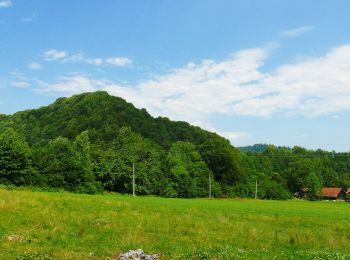
Zu Fuß


• Trail created by Nadleśnictwo Baligród. Website: http://www.czaswlas.pl/obiekty/?p=4&id_obiekt=8166
Zu Fuß
• Trail created by Nadleśnictwo Baligród. Website: http://www.czaswlas.pl/obiekty/?p=4&id_obiekt=8168
Zu Fuß
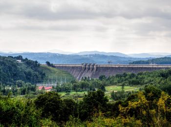
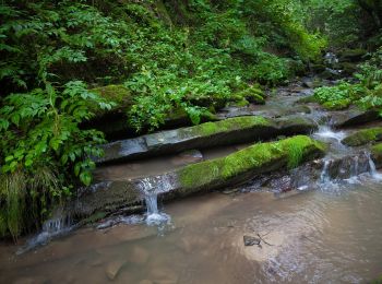
• Trail created by Gmina Solina.
Zu Fuß
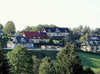
Zu Fuß
Zu Fuß
Zu Fuß
Zu Fuß
Zu Fuß
Zu Fuß
Zu Fuß

Zu Fuß
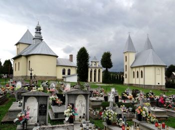
• Trail created by Nadleśnictwo Baligród. Website: http://www.czaswlas.pl/obiekty/?p=4&id_obiekt=8167
12 Angezeigte Touren bei 12
Kostenlosegpshiking-Anwendung
 SityTrail
IGN / Geografische Institute
SityTrail World
Die Welt öffnet sich für Sie