


4 km | 5,9 km-effort
powiat krośnieński : Entdecken Sie die besten Touren : 11 zu Fuß. Alle diese Touren, Trails, Routen und Outdoor-Aktivitäten sind in unseren SityTrail-Apps für Smartphones und Tablets verfügbar.
Zu Fuß


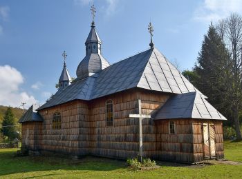
• Trail created by Gmina Rymanów.
Zu Fuß
• Zmieniłem kolor szlaku na czarny w celu poprawienia czytelności na mapach. W pewnym momencie równolegle przebiegały t...
Zu Fuß
• Website: http://www.szlaki-beskid.klikklik.pl/szlaki/szlaki_gminne_inne/szlak_rymanow_przymiarki_iwonicz.php
Zu Fuß
• Symbol: yellow (biało-żółty kwadrat)
Zu Fuß
Zu Fuß
Zu Fuß
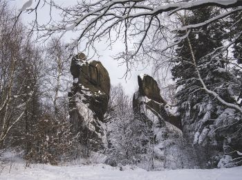
• Trail created by Minister Środowiska.
Zu Fuß
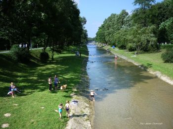
• Trail created by Nadleśnictwo Dukla.
Zu Fuß

Zu Fuß
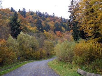
• Trail created by Minister Środowiska.
Zu Fuß
11 Angezeigte Touren bei 11
Kostenlosegpshiking-Anwendung
 SityTrail
IGN / Geografische Institute
SityTrail World
Die Welt öffnet sich für Sie