![](/images/other/stat-length.png)
- Touren
- Outdoor
- Netherlands
- Nordholland
Nordholland, Netherlands: Die besten Touren, Trails, Trecks und Wanderungen
Nordholland : Entdecken Sie die besten Touren : 184 zu Fuß und 152 mit dem Fahrrad oder Mountainbike. Alle diese Touren, Trails, Routen und Outdoor-Aktivitäten sind in unseren SityTrail-Apps für Smartphones und Tablets verfügbar.
Die besten Spuren (382)
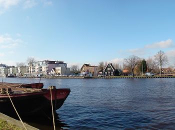
![Tour Zu Fuß Wormerland - Schaalsmeerpolder - Photo](https://media.geolcdn.com/t/350/260/f4bd4958-b361-4414-9b4a-abb409780d6a.jpeg&format=jpg&maxdim=2)
![Zu Fuß Zu Fuß](https://static1.geolcdn.com/sitytour/trail-icons/100.png)
Km
Zu Fuß
![](/images/other/stat-length.png)
![](https://static1.geolcdn.com/siteimages/upload/files/1508320355ic_sort_den_pos_24dp.png)
![](https://static1.geolcdn.com/siteimages/upload/files/1508320355ic_sort_den_neg_24dp.png)
![](https://static1.geolcdn.com/siteimages/upload/files/16400158638029165_repeat_loop_refresh_sync_direction_icon.png)
• Trail created by Natuurmonumenten.
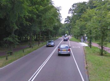
![Tour Zu Fuß Heiloo - Nijenburg - Photo](https://media.geolcdn.com/t/350/260/29f07ec0-f317-43dc-893d-db1fadd4358f.jpeg&format=jpg&maxdim=2)
![Zu Fuß Zu Fuß](https://static1.geolcdn.com/sitytour/trail-icons/100.png)
Km
Zu Fuß
![](/images/other/stat-length.png)
![](https://static1.geolcdn.com/siteimages/upload/files/1508320355ic_sort_den_pos_24dp.png)
![](https://static1.geolcdn.com/siteimages/upload/files/1508320355ic_sort_den_neg_24dp.png)
![](https://static1.geolcdn.com/siteimages/upload/files/16400158638029165_repeat_loop_refresh_sync_direction_icon.png)
• Trail created by Natuurmonumenten.
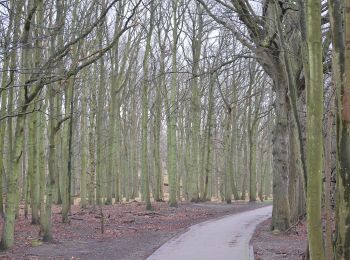
![Tour Zu Fuß Bloemendaal - AWD-Pannenland-Blauw - Photo](https://media.geolcdn.com/t/350/260/995a4050-fd4f-40b8-835f-269113065990.jpeg&format=jpg&maxdim=2)
![Zu Fuß Zu Fuß](https://static1.geolcdn.com/sitytour/trail-icons/100.png)
Km
Zu Fuß
![](/images/other/stat-length.png)
![](https://static1.geolcdn.com/siteimages/upload/files/1508320355ic_sort_den_pos_24dp.png)
![](https://static1.geolcdn.com/siteimages/upload/files/1508320355ic_sort_den_neg_24dp.png)
![](https://static1.geolcdn.com/siteimages/upload/files/16400158638029165_repeat_loop_refresh_sync_direction_icon.png)
• Ontdek de Amsterdamse Waterleidingduinen. Bijvoorbeeld via een van de vele mooie wandelroutes. Of een leuke excursie ...
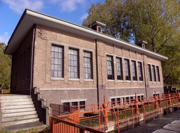
![Tour Zu Fuß Bloemendaal - AWD-Oase-Oranje - Photo](https://media.geolcdn.com/t/350/260/dev_f893a746-fd46-4fd4-9a39-a671002456fc.jpeg&format=jpg&maxdim=2)
![Zu Fuß Zu Fuß](https://static1.geolcdn.com/sitytour/trail-icons/100.png)
Km
Zu Fuß
![](/images/other/stat-length.png)
![](https://static1.geolcdn.com/siteimages/upload/files/1508320355ic_sort_den_pos_24dp.png)
![](https://static1.geolcdn.com/siteimages/upload/files/1508320355ic_sort_den_neg_24dp.png)
![](https://static1.geolcdn.com/siteimages/upload/files/16400158638029165_repeat_loop_refresh_sync_direction_icon.png)
• Oranje route was aanvankelijk (2019) tijdelijke route, maar heeft in 2020 blauwe route vervangen Symbol: orange
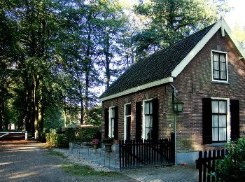
![Tour Zu Fuß Hilversum - 's-Gravelandse Buitenplaatsen - Photo](https://media.geolcdn.com/t/350/260/6f7e529b-a8d9-4a67-93d7-a32d29987d66.jpeg&format=jpg&maxdim=2)
![Zu Fuß Zu Fuß](https://static1.geolcdn.com/sitytour/trail-icons/100.png)
Km
Zu Fuß
![](/images/other/stat-length.png)
![](https://static1.geolcdn.com/siteimages/upload/files/1508320355ic_sort_den_pos_24dp.png)
![](https://static1.geolcdn.com/siteimages/upload/files/1508320355ic_sort_den_neg_24dp.png)
![](https://static1.geolcdn.com/siteimages/upload/files/16400158638029165_repeat_loop_refresh_sync_direction_icon.png)
• Trail created by Natuurmonumenten.
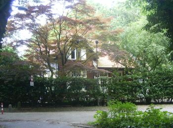
![Tour Zu Fuß Hilversum - Voetstappenpad - Photo](https://media.geolcdn.com/t/350/260/32d603e7-7b46-4d85-ba27-263eff2f078d.jpeg&format=jpg&maxdim=2)
![Zu Fuß Zu Fuß](https://static1.geolcdn.com/sitytour/trail-icons/100.png)
Km
Zu Fuß
![](/images/other/stat-length.png)
![](https://static1.geolcdn.com/siteimages/upload/files/1508320355ic_sort_den_pos_24dp.png)
![](https://static1.geolcdn.com/siteimages/upload/files/1508320355ic_sort_den_neg_24dp.png)
![](https://static1.geolcdn.com/siteimages/upload/files/16400158638029165_repeat_loop_refresh_sync_direction_icon.png)
• Symbol: white footprint on grey stones and on red stickers
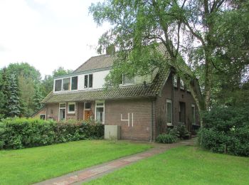
![Tour Zu Fuß Hilversum - Rondwandeling Zonnestraal - Photo](https://media.geolcdn.com/t/350/260/30e8fe06-1211-477f-aa9e-d9eb0dc1bcd0.jpeg&format=jpg&maxdim=2)
![Zu Fuß Zu Fuß](https://static1.geolcdn.com/sitytour/trail-icons/100.png)
Km
Zu Fuß
![](/images/other/stat-length.png)
![](https://static1.geolcdn.com/siteimages/upload/files/1508320355ic_sort_den_pos_24dp.png)
![](https://static1.geolcdn.com/siteimages/upload/files/1508320355ic_sort_den_neg_24dp.png)
![](https://static1.geolcdn.com/siteimages/upload/files/16400158638029165_repeat_loop_refresh_sync_direction_icon.png)
• Symbol: numbered light blue pole
![Tour Zu Fuß Texel - Sommelpaadje - Photo](https://media.geolcdn.com/t/350/260/19a915fb-0534-4f3d-8815-4637ba0cb781.jpeg&format=jpg&maxdim=2)
![Zu Fuß Zu Fuß](https://static1.geolcdn.com/sitytour/trail-icons/100.png)
Km
Zu Fuß
![](/images/other/stat-length.png)
![](https://static1.geolcdn.com/siteimages/upload/files/1508320355ic_sort_den_pos_24dp.png)
![](https://static1.geolcdn.com/siteimages/upload/files/1508320355ic_sort_den_neg_24dp.png)
![](https://static1.geolcdn.com/siteimages/upload/files/16400158638029165_repeat_loop_refresh_sync_direction_icon.png)
• Trail created by de lieuwe. Symbol: green shoeprint on lightgreen circle Website: https://www.delieuw.nl/
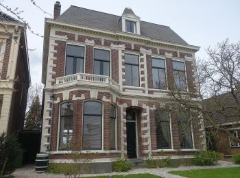
![Tour Zu Fuß Edam-Volendam - NL-Kijk over Kogenroute: Alternatieve route tijdens broedseizoen (15maart -15 juni) - Photo](https://media.geolcdn.com/t/350/260/a15fa489-2754-401f-aa1c-3c2d1ed704fe.jpeg&format=jpg&maxdim=2)
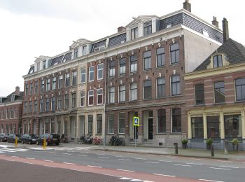
![Zu Fuß Zu Fuß](https://static1.geolcdn.com/sitytour/trail-icons/100.png)
Km
Zu Fuß
![](/images/other/stat-length.png)
![](https://static1.geolcdn.com/siteimages/upload/files/1508320355ic_sort_den_pos_24dp.png)
![](https://static1.geolcdn.com/siteimages/upload/files/1508320355ic_sort_den_neg_24dp.png)
![](https://static1.geolcdn.com/siteimages/upload/files/16400158638029165_repeat_loop_refresh_sync_direction_icon.png)
• Kijk over Kogenroute: Alternatieve route tijdens broedseizoen (15maart -15 juni)
![Tour Zu Fuß Weesp - Groene Wissel: Weesp - Photo](https://media.geolcdn.com/t/350/260/cf979c2e-4a16-49b5-a2d2-ed5441ef79ab.jpeg&format=jpg&maxdim=2)
![Zu Fuß Zu Fuß](https://static1.geolcdn.com/sitytour/trail-icons/100.png)
Km
Zu Fuß
![](/images/other/stat-length.png)
![](https://static1.geolcdn.com/siteimages/upload/files/1508320355ic_sort_den_pos_24dp.png)
![](https://static1.geolcdn.com/siteimages/upload/files/1508320355ic_sort_den_neg_24dp.png)
![](https://static1.geolcdn.com/siteimages/upload/files/16400158638029165_repeat_loop_refresh_sync_direction_icon.png)
• Website: https://www.wandelzoekpagina.nl/groene_wissels/lijst.php
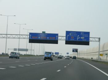
![Tour Zu Fuß Amsterdam - Groene Wissel: Amsterdam-BijlmerArena - Photo](https://media.geolcdn.com/t/350/260/183600b1-6620-4d9a-b735-429ea25c220e.jpeg&format=jpg&maxdim=2)
![Zu Fuß Zu Fuß](https://static1.geolcdn.com/sitytour/trail-icons/100.png)
Km
Zu Fuß
![](/images/other/stat-length.png)
![](https://static1.geolcdn.com/siteimages/upload/files/1508320355ic_sort_den_pos_24dp.png)
![](https://static1.geolcdn.com/siteimages/upload/files/1508320355ic_sort_den_neg_24dp.png)
![](https://static1.geolcdn.com/siteimages/upload/files/16400158638029165_repeat_loop_refresh_sync_direction_icon.png)
• Website: https://www.wandelzoekpagina.nl/groene_wissels/lijst.php
![Tour Zu Fuß Bloemendaal - AWD-Pannenland-Rood - Photo](https://media.geolcdn.com/t/350/260/995a4050-fd4f-40b8-835f-269113065990.jpeg&format=jpg&maxdim=2)
![Zu Fuß Zu Fuß](https://static1.geolcdn.com/sitytour/trail-icons/100.png)
Km
Zu Fuß
![](/images/other/stat-length.png)
![](https://static1.geolcdn.com/siteimages/upload/files/1508320355ic_sort_den_pos_24dp.png)
![](https://static1.geolcdn.com/siteimages/upload/files/1508320355ic_sort_den_neg_24dp.png)
![](https://static1.geolcdn.com/siteimages/upload/files/16400158638029165_repeat_loop_refresh_sync_direction_icon.png)
• Ontdek de Amsterdamse Waterleidingduinen. Bijvoorbeeld via een van de vele mooie wandelroutes. Of een leuke excursie ...
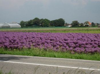
![Tour Zu Fuß Castricum - Duindoornroute - Photo](https://media.geolcdn.com/t/350/260/86b8b62a-dd0d-4595-9a72-07283ffc1b57.jpeg&format=jpg&maxdim=2)
![Zu Fuß Zu Fuß](https://static1.geolcdn.com/sitytour/trail-icons/100.png)
Km
Zu Fuß
![](/images/other/stat-length.png)
![](https://static1.geolcdn.com/siteimages/upload/files/1508320355ic_sort_den_pos_24dp.png)
![](https://static1.geolcdn.com/siteimages/upload/files/1508320355ic_sort_den_neg_24dp.png)
![](https://static1.geolcdn.com/siteimages/upload/files/16400158638029165_repeat_loop_refresh_sync_direction_icon.png)
• Trail created by PWN.
![Tour Zu Fuß Koggenland - Waterlingroute - Photo](https://media.geolcdn.com/t/350/260/b2bc07d0-54c7-442f-b420-a1d3c70cf3ad.jpeg&format=jpg&maxdim=2)
![Zu Fuß Zu Fuß](https://static1.geolcdn.com/sitytour/trail-icons/100.png)
Km
Zu Fuß
![](/images/other/stat-length.png)
![](https://static1.geolcdn.com/siteimages/upload/files/1508320355ic_sort_den_pos_24dp.png)
![](https://static1.geolcdn.com/siteimages/upload/files/1508320355ic_sort_den_neg_24dp.png)
![](https://static1.geolcdn.com/siteimages/upload/files/16400158638029165_repeat_loop_refresh_sync_direction_icon.png)
• Trail created by Landschap Waterland. Symbol: blue sticker with name of route
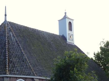
![Tour Zu Fuß Edam-Volendam - Kijk over Kogenroute - Photo](https://media.geolcdn.com/t/350/260/f5288d07-b166-487d-a219-462178801d05.jpeg&format=jpg&maxdim=2)
![Zu Fuß Zu Fuß](https://static1.geolcdn.com/sitytour/trail-icons/100.png)
Km
Zu Fuß
![](/images/other/stat-length.png)
![](https://static1.geolcdn.com/siteimages/upload/files/1508320355ic_sort_den_pos_24dp.png)
![](https://static1.geolcdn.com/siteimages/upload/files/1508320355ic_sort_den_neg_24dp.png)
![](https://static1.geolcdn.com/siteimages/upload/files/16400158638029165_repeat_loop_refresh_sync_direction_icon.png)
• Trail created by Landschap Waterland. Symbol: blue sticker with name of route
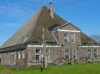
![Tour Zu Fuß Beemster - Hogedijkroute - Photo](https://media.geolcdn.com/t/350/260/325387ff-b241-4760-b00b-1534eb36cfb6.jpeg&format=jpg&maxdim=2)
![Zu Fuß Zu Fuß](https://static1.geolcdn.com/sitytour/trail-icons/100.png)
Km
Zu Fuß
![](/images/other/stat-length.png)
![](https://static1.geolcdn.com/siteimages/upload/files/1508320355ic_sort_den_pos_24dp.png)
![](https://static1.geolcdn.com/siteimages/upload/files/1508320355ic_sort_den_neg_24dp.png)
![](https://static1.geolcdn.com/siteimages/upload/files/16400158638029165_repeat_loop_refresh_sync_direction_icon.png)
• Trail created by Landschap Waterland. Symbol: blue sticker with name of route
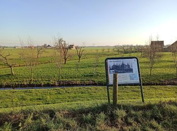
![Tour Zu Fuß Purmerend - Bos en Dijkroute - Photo](https://media.geolcdn.com/t/350/260/1a4e88ea-972d-44c9-8e54-1f4daaa27944.jpeg&format=jpg&maxdim=2)
![Zu Fuß Zu Fuß](https://static1.geolcdn.com/sitytour/trail-icons/100.png)
Km
Zu Fuß
![](/images/other/stat-length.png)
![](https://static1.geolcdn.com/siteimages/upload/files/1508320355ic_sort_den_pos_24dp.png)
![](https://static1.geolcdn.com/siteimages/upload/files/1508320355ic_sort_den_neg_24dp.png)
![](https://static1.geolcdn.com/siteimages/upload/files/16400158638029165_repeat_loop_refresh_sync_direction_icon.png)
• Trail created by Landschap Waterland.
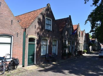
![Tour Zu Fuß Waterland - Hekkenroute - Photo](https://media.geolcdn.com/t/350/260/1514bcf7-8d15-4d25-b02c-8381650cd427.jpeg&format=jpg&maxdim=2)
![Zu Fuß Zu Fuß](https://static1.geolcdn.com/sitytour/trail-icons/100.png)
Km
Zu Fuß
![](/images/other/stat-length.png)
![](https://static1.geolcdn.com/siteimages/upload/files/1508320355ic_sort_den_pos_24dp.png)
![](https://static1.geolcdn.com/siteimages/upload/files/1508320355ic_sort_den_neg_24dp.png)
![](https://static1.geolcdn.com/siteimages/upload/files/16400158638029165_repeat_loop_refresh_sync_direction_icon.png)
• Trail created by Landschap Waterland. Symbol: blue sticker with name of route
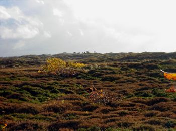
![Tour Zu Fuß Texel - De Bollekamer - Photo](https://media.geolcdn.com/t/350/260/070a98e3-ad26-4cfe-96e2-60c1276ba97e.jpeg&format=jpg&maxdim=2)
![Zu Fuß Zu Fuß](https://static1.geolcdn.com/sitytour/trail-icons/100.png)
Km
Zu Fuß
![](/images/other/stat-length.png)
![](https://static1.geolcdn.com/siteimages/upload/files/1508320355ic_sort_den_pos_24dp.png)
![](https://static1.geolcdn.com/siteimages/upload/files/1508320355ic_sort_den_neg_24dp.png)
![](https://static1.geolcdn.com/siteimages/upload/files/16400158638029165_repeat_loop_refresh_sync_direction_icon.png)
• Symbol: blue poles
![Tour Zu Fuß Texel - Natuurpad Alloo - Photo](https://media.geolcdn.com/t/350/260/2495b563-29bd-4f91-9fd8-544019ca29b0.jpeg&format=jpg&maxdim=2)
![Zu Fuß Zu Fuß](https://static1.geolcdn.com/sitytour/trail-icons/100.png)
Km
Zu Fuß
![](/images/other/stat-length.png)
![](https://static1.geolcdn.com/siteimages/upload/files/1508320355ic_sort_den_pos_24dp.png)
![](https://static1.geolcdn.com/siteimages/upload/files/1508320355ic_sort_den_neg_24dp.png)
![](https://static1.geolcdn.com/siteimages/upload/files/16400158638029165_repeat_loop_refresh_sync_direction_icon.png)
• Symbol: wood plates with description
20 Angezeigte Touren bei 382
Kostenlosegpshiking-Anwendung