


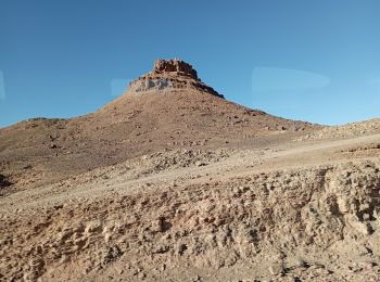
14,3 km | 18,4 km-effort
Morocco : Entdecken Sie die 195 besten Wander- und Radtouren. Unser Katalog, der komplett von Wanderern und Tourenradlern kuratiert wurde, ist voll von wunderschönen Landschaften, die nur darauf warten, erkundet zu werden. Downloaden Sie diese Routen in SityTrail, unserer kostenlosen gps-Wander-App, die für Android und iOS verfügbar ist.

Wandern


Wandern
Wandern
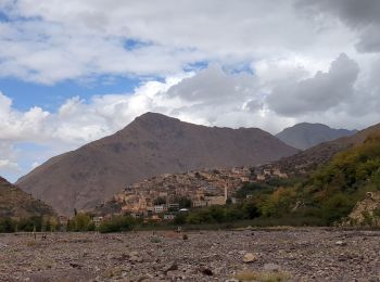
Wandern
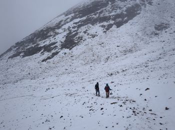
Wandern
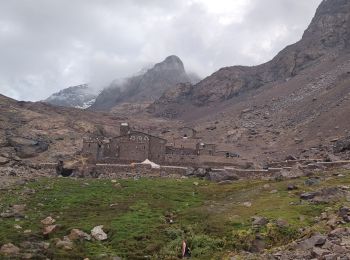
Wandern
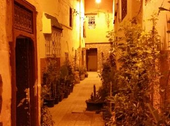
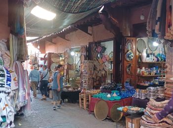
• Balade dans la medina, place El Hedim, souk, ...
Flugzeug
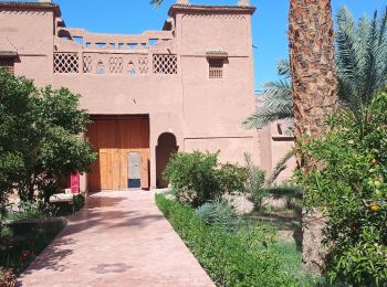
Auto
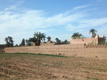
Auto
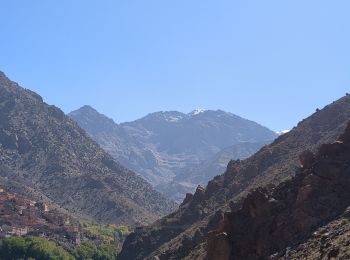
Wandern
Wandern
Wandern
Wandern
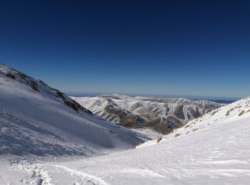
Skiwanderen
Wandern
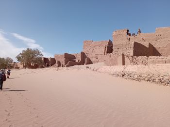
• Magnifique. Retour 23h15.
Wandern
• Plus d'info sur: www.voyagestrekking.com
Wandern
• Plus d'info sur: www.voyagestrekking.com
Wandern
• Plus d'info sur: www.voyagestrekking.com
Wandern
• Plus d'info sur: www.voyagestrekking.com
Wandern
• Plus d'info sur: www.voyagestrekking.com
20 Angezeigte Touren bei 195
Kostenlosegpshiking-Anwendung
 SityTrail
IGN / Geografische Institute
SityTrail World
Die Welt öffnet sich für Sie