


13,7 km | 19,5 km-effort
Ernztalgemeinde : Entdecken Sie die besten Touren : 10 zu Fuß und 3 mit dem Fahrrad oder Mountainbike. Alle diese Touren, Trails, Routen und Outdoor-Aktivitäten sind in unseren SityTrail-Apps für Smartphones und Tablets verfügbar.
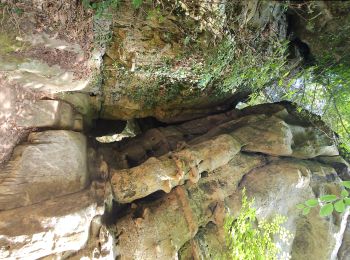
Wandern


Zu Fuß
• Trail created by Syndicat d'initiative.
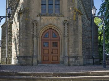
Zu Fuß
Zu Fuß
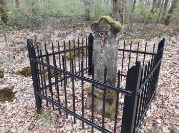
Zu Fuß
Wandern
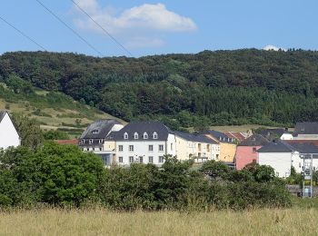
Wandern

Mountainbike

Wandern
Wandern

Nordic Walking
Mountainbike
Mountainbike
13 Angezeigte Touren bei 13
 SityTrail