


6,9 km | 9,3 km-effort
Aristanis/Oristano : Entdecken Sie die besten Touren : 17 zu Fuß. Alle diese Touren, Trails, Routen und Outdoor-Aktivitäten sind in unseren SityTrail-Apps für Smartphones und Tablets verfügbar.
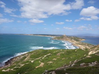
Wandern


Wandern
Wandern
Wandern
Wandern
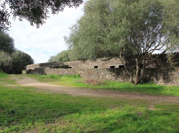
Zu Fuß
Zu Fuß
• Trail created by Ente foreste della Sardegna.
Zu Fuß
• Trail created by Ente foreste della Sardegna.
Zu Fuß
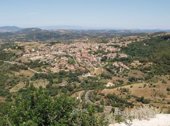
Wandern

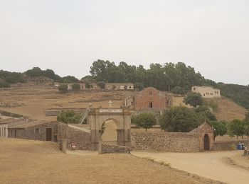
Zu Fuß
• Trail created by consorzio Parco del Monte Arci.
Zu Fuß
• Trail created by Ente foreste della Sardegna.
Zu Fuß
• Trail created by Ente foreste della Sardegna.
Wandern

Wandern
Zu Fuß

Wandern
17 Angezeigte Touren bei 17
Kostenlosegpshiking-Anwendung
 SityTrail
IGN / Geografische Institute
SityTrail World
Die Welt öffnet sich für Sie