


5,1 km | 12,5 km-effort
Acceglio : Entdecken Sie die besten Touren : 65 zu Fuß. Alle diese Touren, Trails, Routen und Outdoor-Aktivitäten sind in unseren SityTrail-Apps für Smartphones und Tablets verfügbar.

Zu Fuß


• Trail created by Club Alpino Italiano. Symbol: white bar on red background
Zu Fuß
Zu Fuß
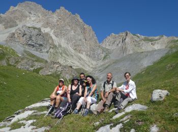
Wandern
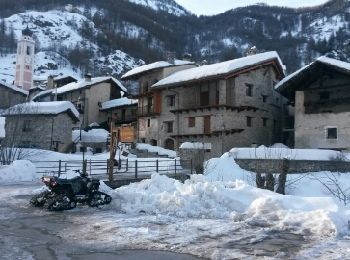
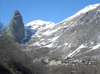
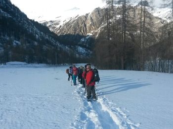
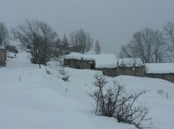
Schneeschuhwandern
•

Schneeschuhwandern
•
Schneeschuhwandern
•

Zu Fuß
• Trail created by Club Alpino Italiano. Symbol: white bar on red background
Zu Fuß
• Symbol: red bar on blue background
Zu Fuß
• Trail created by Club Alpino Italiano. Symbol: white bar on red background
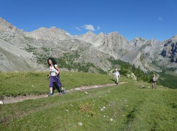
Wandern
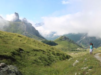
Wandern

Wandern
Wandern
Schneeschuhwandern
•
Zu Fuß
Zu Fuß
Zu Fuß

Wandern
Wandern
20 Angezeigte Touren bei 75
Kostenlosegpshiking-Anwendung
 SityTrail
IGN / Geografische Institute
SityTrail World
Die Welt öffnet sich für Sie