


14,2 km | 23 km-effort
Argentera : Entdecken Sie die besten Touren : 13 zu Fuß und 9 mit dem Fahrrad oder Mountainbike. Alle diese Touren, Trails, Routen und Outdoor-Aktivitäten sind in unseren SityTrail-Apps für Smartphones und Tablets verfügbar.
Wandern


• retour de Feriere par le torrent bon sentier le 28 mai 2017

Mountainbike
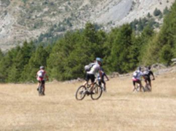
Mountainbike

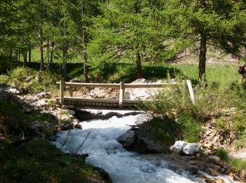
Wandern
Wandern

Zu Fuß
Zu Fuß
Wandern

Mountainbike
Mountainbike
Andere Aktivitäten
• Ski de rando
Wandern
Wandern
Mountainbike
Mountainbike
Wandern
Wandern
Wandern
• hors piste
Mountainbike
Wandern
20 Angezeigte Touren bei 24
Kostenlosegpshiking-Anwendung
 SityTrail
IGN / Geografische Institute
SityTrail World
Die Welt öffnet sich für Sie