


12,7 km | 20 km-effort
Imperia : Entdecken Sie die besten Touren : 93 zu Fuß und 8 mit dem Fahrrad oder Mountainbike. Alle diese Touren, Trails, Routen und Outdoor-Aktivitäten sind in unseren SityTrail-Apps für Smartphones und Tablets verfügbar.
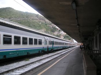
Zu Fuß


• Trail created by Département des Alpes-Maritimes. Symbol: Trait jaune
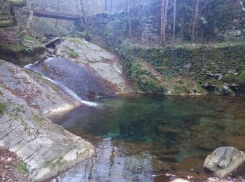
Zu Fuß
• Trail created by Club Alpino Italiano. Sentiero Italia CAI 2019

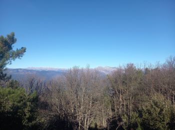
Zu Fuß
• Trail created by Club Alpino Italiano. Symbol: unmarked
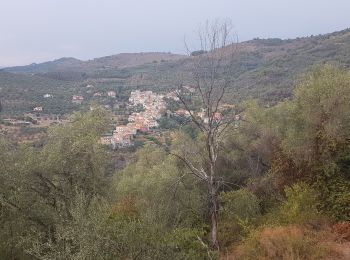
Zu Fuß
• relation mantained by AlfredoSP (CAI-SP) Symbol: white red flag Website: https://www.cailaspezia.it/

Zu Fuß
• Trail created by Club Alpino Italiano. Sentiero Italia CAI 2019 Symbol: AV on white red flag
Zu Fuß
• Trail created by Club Alpino Italiano. Symbol: AV on white red flag
Zu Fuß
• Trail created by Club Alpino Italiano. Symbol: AV on white red flag
Wandern
Wandern
Wandern

Zu Fuß

Zu Fuß
Zu Fuß
Zu Fuß

Zu Fuß
Zu Fuß
Zu Fuß

Zu Fuß
Zu Fuß

Zu Fuß
20 Angezeigte Touren bei 105
Kostenlosegpshiking-Anwendung
 SityTrail
IGN / Geografische Institute
SityTrail World
Die Welt öffnet sich für Sie