
Treviso, Venetien: Die besten Touren, Trails, Trecks und Wanderungen
Treviso : Entdecken Sie die besten Touren : 49 zu Fuß. Alle diese Touren, Trails, Routen und Outdoor-Aktivitäten sind in unseren SityTrail-Apps für Smartphones und Tablets verfügbar.
Die besten Spuren (55)
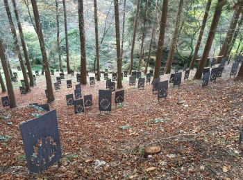
Km
Zu Fuß


• Website: https://www.traildelgevero.it/

Km
Zu Fuß


• Trail created by Consorzio Bosco Montello.
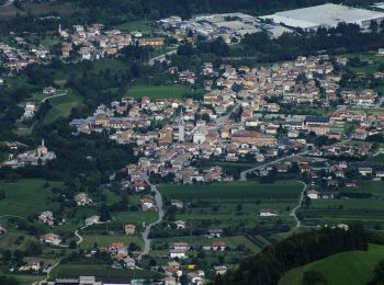
Km
Zu Fuß


• Symbol: 212 on white red flag
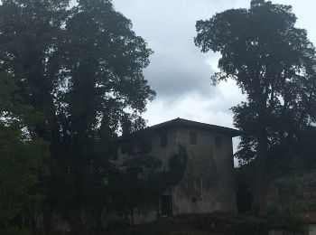
Km
Zu Fuß


• Trail created by M.C..

Km
Zu Fuß


• Symbol: 156 on white red flag
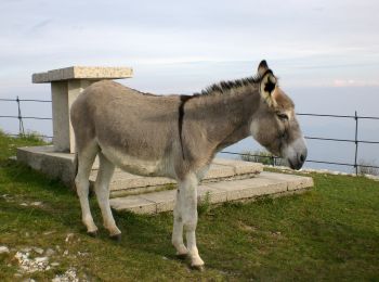
Km
Zu Fuß


• Trail created by CAI. Symbol: 180 on white red flag Website: http://www.caibassanograppa.com

Km
Zu Fuß


• Trail created by Club Alpino Italiano. Symbol: 100 on white red flag Website: http://www.caibassanograppa.com
Km
Zu Fuß


• Symbol: 104 on white red flag

Km
Zu Fuß


• Symbol: 109 on white red flag
Km
Zu Fuß


Km
Zu Fuß


Km
Zu Fuß



Km
Zu Fuß


Km
Zu Fuß


Km
Zu Fuß


• Symbol: 197 on white red flag

Km
Zu Fuß


• Trail created by dall’Associazione Alpini di Montaner di Sarmede.

Km
Zu Fuß


• Symbol: 196 on white red flag

Km
Zu Fuß



Km
Zu Fuß


Km
Zu Fuß


• Symbol: 102 on white red flag
20 Angezeigte Touren bei 55
Kostenlosegpshiking-Anwendung
Aktivitäten
Nahegelegene Regionen
- Borso del Grappa
- Cappella Maggiore
- Casale sul Sile
- Cavaso del Tomba
- Cison di Valmarino
- Colle Umberto
- Conegliano
- Cordignano
- Cornuda
- Farra di Soligo
- Follina
- Fregona
- Giavera del Montello
- Miane
- Mogliano Veneto
- Montebelluna
- Morgano
- Nervesa della Battaglia
- Pieve del Grappa
- Povegliano
- Revine Lago
- Roncade
- Salgareda
- Sarmede
- Susegana
- Tarzo
- Valdobbiadene
- Villorba
- Vittorio Veneto
- Volpago del Montello


 SityTrail


