


5,8 km | 9,9 km-effort
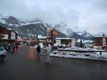
Canale d'Agordo : Entdecken Sie die besten Touren : 12 zu Fuß. Alle diese Touren, Trails, Routen und Outdoor-Aktivitäten sind in unseren SityTrail-Apps für Smartphones und Tablets verfügbar.
Zu Fuß


• Trail created by Parco naturale Paneveggio - Pale di San Martino.
Zu Fuß
• Trail created by Parco Paneveggio e Pale di San Martino.
Zu Fuß
• Trail created by CAI Agordo.
Zu Fuß
• Trail created by Club Alpino Italiano.
Zu Fuß
• Trail created by Società degli Alpinisti Tridentini. Website: http://www.sat.tn.it/
Zu Fuß
• Trail created by Società degli Alpinisti Tridentini. Website: http://www.sat.tn.it/
Zu Fuß
• Trail created by CAI Agordo.

Zu Fuß
• Trail created by Club Alpino Italiano. Symbol: 687 on white red tag
Zu Fuß
• Trail created by CAI Agordo.

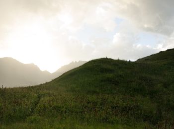
Wandern
• Plateau
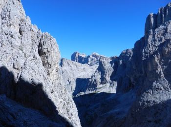
Klettersteig
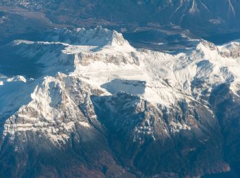
Wandern

Motorrad
Wandern
14 Angezeigte Touren bei 14
Kostenlosegpshiking-Anwendung
 SityTrail
IGN / Geografische Institute
SityTrail World
Die Welt öffnet sich für Sie