


5,2 km | 12,9 km-effort
St. Christina in Gröden : Entdecken Sie die besten Touren : 18 zu Fuß. Alle diese Touren, Trails, Routen und Outdoor-Aktivitäten sind in unseren SityTrail-Apps für Smartphones und Tablets verfügbar.

Zu Fuß


• Symbol: 20 on white red flag
Zu Fuß
• Trail created by Alpenverein Südtirol (AVS). Symbol: 527 on white red flag
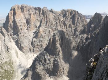
Wandern
Zu Fuß
Zu Fuß
Zu Fuß
Zu Fuß
Zu Fuß

Zu Fuß

Zu Fuß
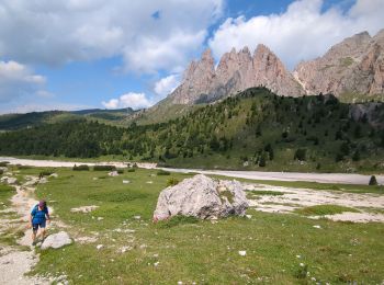
Wandern
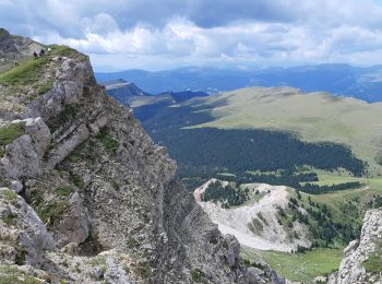
• Faite le 23/07/2018 avec notre fils Théo de 13 ans. D'après "Auf der Südseite der Geislerspitzen" du site www.sentres...
Wandern

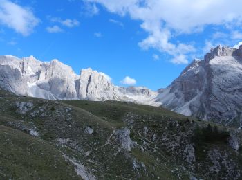
Wandern

Zu Fuß
Wandern
Wandern
Wandern
Wandern
18 Angezeigte Touren bei 18
Kostenlosegpshiking-Anwendung
 SityTrail
IGN / Geografische Institute
SityTrail World
Die Welt öffnet sich für Sie