


7 km | 10 km-effort
Bruneck : Entdecken Sie die besten Touren : 12 zu Fuß. Alle diese Touren, Trails, Routen und Outdoor-Aktivitäten sind in unseren SityTrail-Apps für Smartphones und Tablets verfügbar.
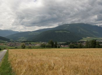
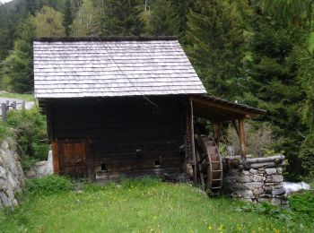
Zu Fuß


Zu Fuß

Zu Fuß
Zu Fuß
Zu Fuß
Zu Fuß
Zu Fuß
Zu Fuß
Zu Fuß
Zu Fuß

Zu Fuß
Zu Fuß

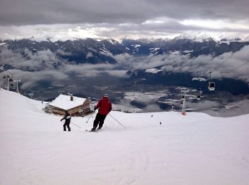
Ski laufen
13 Angezeigte Touren bei 13
 SityTrail