![](/images/other/stat-length.png)
- Touren
- Outdoor
- Italy
- Trentino-Südtirol
- Provincia di Trento
- Palai im Fersental
Palai im Fersental, Provincia di Trento: Die besten Touren, Trails, Trecks und Wanderungen
Palai im Fersental : Entdecken Sie die besten Touren : 6 zu Fuß. Alle diese Touren, Trails, Routen und Outdoor-Aktivitäten sind in unseren SityTrail-Apps für Smartphones und Tablets verfügbar.
Die besten Spuren (6)
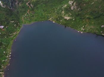
![Tour Zu Fuß Palai im Fersental - IT-E324 - Photo](https://media.geolcdn.com/t/350/260/469455af-86d0-437e-84be-18d3142dda85.jpeg&format=jpg&maxdim=2)
![Zu Fuß Zu Fuß](https://static1.geolcdn.com/sitytour/trail-icons/100.png)
Km
Zu Fuß
![](/images/other/stat-length.png)
![](https://static1.geolcdn.com/siteimages/upload/files/1508320355ic_sort_den_pos_24dp.png)
![](https://static1.geolcdn.com/siteimages/upload/files/1508320355ic_sort_den_neg_24dp.png)
![](https://static1.geolcdn.com/siteimages/upload/files/16400158638029165_repeat_loop_refresh_sync_direction_icon.png)
• Trail created by Società degli Alpinisti Tridentini. Website: http://www.sat.tn.it/
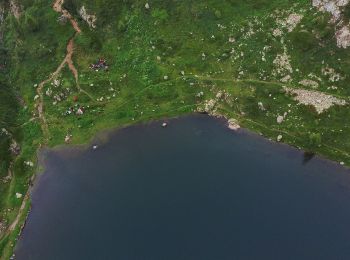
![Tour Zu Fuß Palai im Fersental - IT-E343 - Photo](https://media.geolcdn.com/t/350/260/f296bac2-0295-4732-bab9-73f295ba14f6.jpeg&format=jpg&maxdim=2)
![Zu Fuß Zu Fuß](https://static1.geolcdn.com/sitytour/trail-icons/100.png)
Km
Zu Fuß
![](/images/other/stat-length.png)
![](https://static1.geolcdn.com/siteimages/upload/files/1508320355ic_sort_den_pos_24dp.png)
![](https://static1.geolcdn.com/siteimages/upload/files/1508320355ic_sort_den_neg_24dp.png)
![](https://static1.geolcdn.com/siteimages/upload/files/16400158638029165_repeat_loop_refresh_sync_direction_icon.png)
• Trail created by Società degli Alpinisti Tridentini. Website: http://www.sat.tn.it/
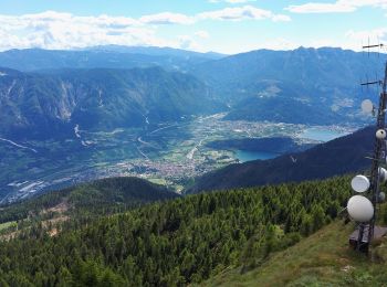
![Tour Zu Fuß Palai im Fersental - IT-E325 - Photo](https://media.geolcdn.com/t/350/260/1a61f460-8146-4a36-a8e2-66886ea56ed4.jpeg&format=jpg&maxdim=2)
![Zu Fuß Zu Fuß](https://static1.geolcdn.com/sitytour/trail-icons/100.png)
Km
Zu Fuß
![](/images/other/stat-length.png)
![](https://static1.geolcdn.com/siteimages/upload/files/1508320355ic_sort_den_pos_24dp.png)
![](https://static1.geolcdn.com/siteimages/upload/files/1508320355ic_sort_den_neg_24dp.png)
![](https://static1.geolcdn.com/siteimages/upload/files/16400158638029165_repeat_loop_refresh_sync_direction_icon.png)
• Trail created by Società degli Alpinisti Tridentini. Website: http://www.sat.tn.it/
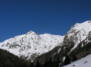
![Tour Zu Fuß Palai im Fersental - IT-E311 - Photo](https://media.geolcdn.com/t/350/260/db6660ee-d864-4a10-8482-354b3d0b378f.jpeg&format=jpg&maxdim=2)
![Zu Fuß Zu Fuß](https://static1.geolcdn.com/sitytour/trail-icons/100.png)
Km
Zu Fuß
![](/images/other/stat-length.png)
![](https://static1.geolcdn.com/siteimages/upload/files/1508320355ic_sort_den_pos_24dp.png)
![](https://static1.geolcdn.com/siteimages/upload/files/1508320355ic_sort_den_neg_24dp.png)
![](https://static1.geolcdn.com/siteimages/upload/files/16400158638029165_repeat_loop_refresh_sync_direction_icon.png)
• Trail created by Società degli Alpinisti Tridentini. Website: http://www.sat.tn.it/
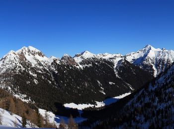
![Tour Zu Fuß Palai im Fersental - IT-E340 - Photo](https://media.geolcdn.com/t/350/260/b7b296a5-87a4-43b7-9b48-8852039b848e.jpeg&format=jpg&maxdim=2)
![Zu Fuß Zu Fuß](https://static1.geolcdn.com/sitytour/trail-icons/100.png)
Km
Zu Fuß
![](/images/other/stat-length.png)
![](https://static1.geolcdn.com/siteimages/upload/files/1508320355ic_sort_den_pos_24dp.png)
![](https://static1.geolcdn.com/siteimages/upload/files/1508320355ic_sort_den_neg_24dp.png)
![](https://static1.geolcdn.com/siteimages/upload/files/16400158638029165_repeat_loop_refresh_sync_direction_icon.png)
• Trail created by Società degli Alpinisti Tridentini. Website: http://www.sat.tn.it/
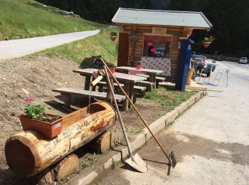
![Tour Zu Fuß Palai im Fersental - Percorso Miniera Palu - Photo](https://media.geolcdn.com/t/350/260/3f7969ac-e942-4ae6-9fc4-efc1552e3079.jpeg&format=jpg&maxdim=2)
![Zu Fuß Zu Fuß](https://static1.geolcdn.com/sitytour/trail-icons/100.png)
Km
Zu Fuß
![](/images/other/stat-length.png)
![](https://static1.geolcdn.com/siteimages/upload/files/1508320355ic_sort_den_pos_24dp.png)
![](https://static1.geolcdn.com/siteimages/upload/files/1508320355ic_sort_den_neg_24dp.png)
![](https://static1.geolcdn.com/siteimages/upload/files/16400158638029165_repeat_loop_refresh_sync_direction_icon.png)
• Trail created by Comune di Palù. Parco Minerario Alta Valsugana e Bersntol
6 Angezeigte Touren bei 6
Kostenlosegpshiking-Anwendung