Storo, Provincia di Trento: Die besten Touren, Trails, Trecks und Wanderungen

Storo : Entdecken Sie die besten Touren : 4 zu Fuß. Alle diese Touren, Trails, Routen und Outdoor-Aktivitäten sind in unseren SityTrail-Apps für Smartphones und Tablets verfügbar.


Die besten Spuren (4)
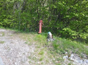
Tour Zu Fuß Storo - IT-O467 - Photo
Zu Fuß 10.481
Km
GUIDE+

Zu Fuß

Medium
Storo, Trentino-Südtirol, Provincia di Trento, Italy
10,5 km | 24 km-effort
5h 20min
1252 m
160 m
Nein
SityTrail - itinéraires balisés pédestres

• Trail created by Società degli Alpinisti Tridentini. Symbol: 467 on white red flag Website: http://www.sat.tn.it/
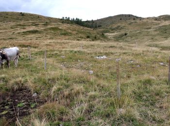
Tour Zu Fuß Storo - IT-O259B - Photo
Zu Fuß 4.937
Km
GUIDE+

Zu Fuß

Einfach
Storo, Trentino-Südtirol, Provincia di Trento, Italy
4,9 km | 9,2 km-effort
2h 6min
375 m
168 m
Nein
SityTrail - itinéraires balisés pédestres

• Trail created by Società degli Alpinisti Tridentini. Symbol: 259B on white red flag Website: http://www.sat.tn.it/

Tour Zu Fuß Storo - IT-O259 - Photo
Zu Fuß 11.508
Km
GUIDE+

Zu Fuß

Einfach
Storo, Trentino-Südtirol, Provincia di Trento, Italy
11,5 km | 16,2 km-effort
3h 41min
186 m
853 m
Nein
SityTrail - itinéraires balisés pédestres

• Trail created by Società degli Alpinisti Tridentini. Symbol: 259 on white red flag Website: http://www.sat.tn.it/

Tour Zu Fuß Storo - IT-O443 - Photo
Zu Fuß 3.493
Km
GUIDE+

Zu Fuß

Einfach
Storo, Trentino-Südtirol, Provincia di Trento, Italy
3,5 km | 6 km-effort
1h 21min
7 m
724 m
Nein
SityTrail - itinéraires balisés pédestres

• Trail created by Società degli Alpinisti Tridentini. Website: http://www.sat.tn.it/

4 Angezeigte Touren bei 4

Kostenlosegpshiking-Anwendung

Logo SityTrail SityTrail

IGN / Geografische Institute

SityTrail aus dem App Store herunterladen SityTrail von Google Play herunterladen

Logo SityTrail SityTrail World

Die Welt öffnet sich für Sie

SityTrail aus dem App Store herunterladen SityTrail von Google Play herunterladen SityTrail auf Huawei AppGallery herunterladen

Aktivitäten

Schließen
Meine Abonnements