


15,4 km | 25 km-effort
Fanano : Entdecken Sie die besten Touren : 15 zu Fuß. Alle diese Touren, Trails, Routen und Outdoor-Aktivitäten sind in unseren SityTrail-Apps für Smartphones und Tablets verfügbar.
Zu Fuß


• Sentiero Italia CAI 2019

Zu Fuß
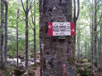
• Trail created by CAI Modena.
Zu Fuß
• Trail created by CAI Modena.
Zu Fuß
• Trail created by CAI Modena.

Zu Fuß
• Trail created by CAI Modena.

Zu Fuß
• Trail created by CAI Modena.
Zu Fuß
• Trail created by CAI Modena.
Zu Fuß
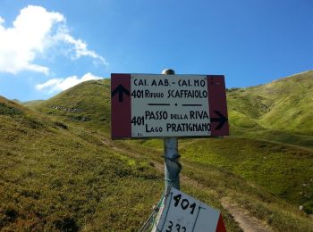
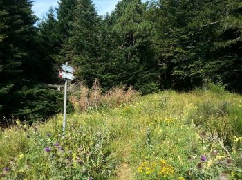
• Trail created by CAI Modena. Symbol: 445 on white red flags

Zu Fuß
Zu Fuß

Zu Fuß
• Trail created by CAI Modena.

Zu Fuß
• Trail created by CAI Modena.

Zu Fuß
• Trail created by CAI Modena.

Zu Fuß
• Trail created by CAI Modena.
Zu Fuß
• Trail created by CAI Modena.
15 Angezeigte Touren bei 15
Kostenlosegpshiking-Anwendung
 SityTrail
IGN / Geografische Institute
SityTrail World
Die Welt öffnet sich für Sie