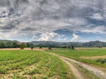
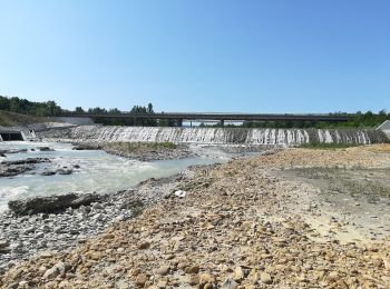
Castellarano, Reggio nell'Emilia: Die besten Touren, Trails, Trecks und Wanderungen

Castellarano : Entdecken Sie die besten Touren : 7 zu Fuß. Alle diese Touren, Trails, Routen und Outdoor-Aktivitäten sind in unseren SityTrail-Apps für Smartphones und Tablets verfügbar.


Die besten Spuren (7)
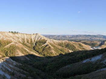
Tour Zu Fuß Castellarano - IT-602F - Photo
Zu Fuß 4.719
Km
GUIDE+

Zu Fuß

Einfach
Castellarano, Emilia-Romagna, Reggio nell'Emilia, Italy
4,7 km | 7,3 km-effort
1h 40min
247 m
48 m
Nein
SityTrail - itinéraires balisés pédestres

• Symbol: 602F on white red flags

Tour Zu Fuß Castellarano - Croce di San Valentino - Montebabbio - Telarolo - Monte Maestà Bianca - Photo
Zu Fuß 12.781
Km
GUIDE+

Zu Fuß

Einfach
Castellarano, Emilia-Romagna, Reggio nell'Emilia, Italy
12,8 km | 17,6 km-effort
3h 59min
333 m
443 m
Nein
SityTrail - itinéraires balisés pédestres

• Symbol: 602D on white red flags

Tour Zu Fuß Castellarano - IT-602 - Photo
Zu Fuß 22.4
Km
GUIDE+

Zu Fuß

Medium
Castellarano, Emilia-Romagna, Reggio nell'Emilia, Italy
22 km | 30 km-effort
6h 47min
564 m
560 m
Ja
SityTrail - itinéraires balisés pédestres

• Trail created by Provincia di Reggio Emilia. Symbol: 602 on white red flags

Tour Zu Fuß Castellarano - IT-602C - Photo
Zu Fuß 5.507
Km
GUIDE+

Zu Fuß

Einfach
Castellarano, Emilia-Romagna, Reggio nell'Emilia, Italy
5,5 km | 7,3 km-effort
1h 39min
93 m
247 m
Nein
SityTrail - itinéraires balisés pédestres

• Symbol: 602C on white red flags

Tour Zu Fuß Castellarano - Sentiero del rosario - Photo
Zu Fuß 5.145
Km
GUIDE+

Zu Fuß

Einfach
Castellarano, Emilia-Romagna, Reggio nell'Emilia, Italy
5,1 km | 6,5 km-effort
1h 28min
67 m
200 m
Nein
SityTrail - itinéraires balisés pédestres

• Symbol: 602M on white red flags

Tour Zu Fuß Castellarano - Monte Le Malee - Castellarano - Photo
Zu Fuß 5.141
Km
GUIDE+

Zu Fuß

Einfach
Castellarano, Emilia-Romagna, Reggio nell'Emilia, Italy
5,1 km | 6,5 km-effort
1h 28min
40 m
283 m
Nein
SityTrail - itinéraires balisés pédestres

• Symbol: 602B on white red flags

Tour Zu Fuß Castellarano - Roteglia - Rontano - Monte Stadola - Monte Maestà Nera - Roteglia - Photo
Zu Fuß 10.331
Km
GUIDE+

Zu Fuß

Einfach
Castellarano, Emilia-Romagna, Reggio nell'Emilia, Italy
10,3 km | 16,3 km-effort
3h 41min
444 m
445 m
Ja
SityTrail - itinéraires balisés pédestres

• Trail created by Comune di Castellarano. Symbol: 602A on white red flags

7 Angezeigte Touren bei 7

Kostenlosegpshiking-Anwendung

Logo SityTrail SityTrail

IGN / Geografische Institute

SityTrail aus dem App Store herunterladen SityTrail von Google Play herunterladen

Logo SityTrail SityTrail World

Die Welt öffnet sich für Sie

SityTrail aus dem App Store herunterladen SityTrail von Google Play herunterladen SityTrail auf Huawei AppGallery herunterladen

Aktivitäten

Schließen
Meine Abonnements