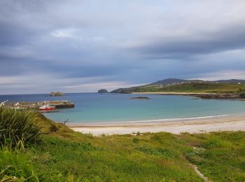
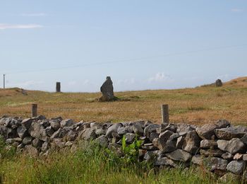
County Donegal, Unbekannt: Die besten Touren, Trails, Trecks und Wanderungen

County Donegal : Entdecken Sie die besten Touren : 7 zu Fuß und 2 mit dem Fahrrad oder Mountainbike. Alle diese Touren, Trails, Routen und Outdoor-Aktivitäten sind in unseren SityTrail-Apps für Smartphones und Tablets verfügbar.


Die besten Spuren (16)

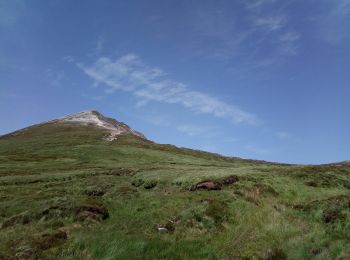
Tour Wandern Glenties Municipal District - Irlande 45 Errigal Mountain - Photo
Wandern 4.899
Km

Wandern

Medium
Glenties Municipal District, Unbekannt, County Donegal, Ireland
4,9 km | 0 m-effort
2h 36min
0 m
0 m
Ja
Laurence Thierry MARTIN

Tour Auto Inishowen Municipal District - 190630 - Photo
Auto 336.352
Km

Auto

Sehr leicht
Inishowen Municipal District, Unbekannt, County Donegal, Ireland
336 km | 382 km-effort
12h 13min
3393 m
3397 m
Nein
pffrench

Tour Auto Inishowen Municipal District - 190629giantsCauseway - Photo
Auto 195.594
Km

Auto

Sehr leicht
Inishowen Municipal District, Unbekannt, County Donegal, Ireland
196 km | 221 km-effort
13h 8min
1911 m
1904 m
Nein
pffrench

Tour Andere Aktivitäten Letterkenny Municipal District - fanad route - Photo
Andere Aktivitäten 15.777
Km

Andere Aktivitäten

Sehr leicht
Letterkenny Municipal District, Unbekannt, County Donegal, Ireland
15,8 km | 19 km-effort
4h 25min
243 m
247 m
Ja
ciaranmcelwaine

Tour Auto Letterkenny Municipal District - Letterkenny boucle WAW Part 13 - Photo
Auto 225.099
Km

Auto

Sehr leicht
Letterkenny Municipal District, Unbekannt, County Donegal, Ireland
225 km | 262 km-effort
Unbekannt
2742 m
2742 m
Ja
Bernard Lejeune

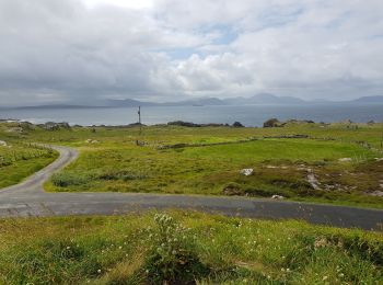
Tour Wandern Inishowen Municipal District - 190628Malin Head - Photo
Wandern 7.273
Km

Wandern

Sehr leicht
Inishowen Municipal District, Unbekannt, County Donegal, Ireland
7,3 km | 8 km-effort
3h 15min
52 m
50 m
Ja
pffrench

Tour Wandern Donegal Municipal District - Slieve League - Photo
Wandern 13.031
Km

Wandern

Medium
Donegal Municipal District, Unbekannt, County Donegal, Ireland
13 km | 21 km-effort
4h 32min
613 m
634 m
Ja
heb

• Jour 3 (lu 10/07)

Tour Fahrrad Letterkenny Municipal District - Araheera Bicycle Route Route 1 - Photo
Fahrrad 16.222
Km

Fahrrad

Sehr leicht
Letterkenny Municipal District, Unbekannt, County Donegal, Ireland
16,2 km | 19,5 km-effort
47min
248 m
249 m
Ja
ciaranmcelwaine

Tour Wandern Glenties Municipal District - Aghla Mountain - Photo
Wandern 7.142
Km

Wandern

Sehr leicht
Glenties Municipal District, Unbekannt, County Donegal, Ireland
7,1 km | 13,5 km-effort
3h 46min
479 m
480 m
Ja
JohnO

Tour Wandern Letterkenny Municipal District - Lough Salt - Photo
Wandern 7.058
Km

Wandern

Sehr leicht
Letterkenny Municipal District, Unbekannt, County Donegal, Ireland
7,1 km | 10,4 km-effort
3h 0min
251 m
251 m
Ja
JohnO

Tour Wandern Donegal Municipal District - Slieve League - Photo
Wandern 11.355
Km

Wandern

Sehr schwierig
Donegal Municipal District, Unbekannt, County Donegal, Ireland
11,4 km | 19,1 km-effort
4h 22min
582 m
589 m
Ja
Bernard Lejeune

Tour Mountainbike Glenties Municipal District - Glenveagh Castle - Photo
Mountainbike 32.285
Km

Mountainbike

Schwierig
Glenties Municipal District, Unbekannt, County Donegal, Ireland
32 km | 39 km-effort
2h 43min
519 m
519 m
Ja
Bernard Lejeune

Tour Wandern Glenties Municipal District - gortahork - Photo
Wandern 10.147
Km

Wandern

Schwierig
Glenties Municipal District, Unbekannt, County Donegal, Ireland
10,1 km | 12,9 km-effort
3h 9min
205 m
202 m
Ja
dnbo79

Tour Auto Glenties Municipal District - Sleepy Hollows - Letterkenny. WAW Part 12 - Photo
Auto 180.699
Km

Auto

Sehr leicht
Glenties Municipal District, Unbekannt, County Donegal, Ireland
181 km | 213 km-effort
Unbekannt
2413 m
2435 m
Nein
Bernard Lejeune

Tour Auto Glenties Municipal District - Sleepy Hollows Boucle - Photo
Auto 88.974
Km

Auto

Sehr leicht
Glenties Municipal District, Unbekannt, County Donegal, Ireland
89 km | 104 km-effort
Unbekannt
1099 m
1099 m
Ja
Bernard Lejeune

Tour Auto Donegal Municipal District - Sleave League - Sleepy Hollows. WAW part 11 - Photo
Auto 116.926
Km

Auto

Sehr leicht
Donegal Municipal District, Unbekannt, County Donegal, Ireland
117 km | 138 km-effort
Unbekannt
1558 m
1605 m
Nein
Bernard Lejeune

16 Angezeigte Touren bei 16

Kostenlosegpshiking-Anwendung

Logo SityTrail SityTrail

IGN / Geografische Institute

SityTrail aus dem App Store herunterladen SityTrail von Google Play herunterladen

Logo SityTrail SityTrail World

Die Welt öffnet sich für Sie

SityTrail aus dem App Store herunterladen SityTrail von Google Play herunterladen SityTrail auf Huawei AppGallery herunterladen

Aktivitäten

Nahegelegene Regionen

Schließen
Meine Abonnements