


5,2 km | 5,6 km-effort
Komitat Fejér : Entdecken Sie die besten Touren : 30 zu Fuß. Alle diese Touren, Trails, Routen und Outdoor-Aktivitäten sind in unseren SityTrail-Apps für Smartphones und Tablets verfügbar.
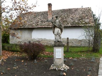
Zu Fuß


• Trail created by DEMETER.
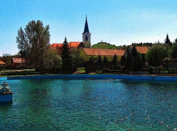
Zu Fuß
• Trail created by DEMETER.
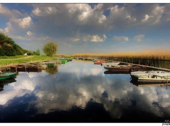
Zu Fuß
• Trail created by Fejér Megyei Természetbarát Szövetség.
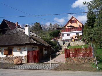
Zu Fuß
• Itt a koncepciót kéne kitalálni, hogy kereszt vagy sáv !!!
Zu Fuß
• Symbol: red triangle
Zu Fuß
• Trail created by Fejér Megyei Természetbarát Szövetség. Symbol: red L
Zu Fuß
• Symbol: red_cross
Zu Fuß
Zu Fuß
Zu Fuß
Zu Fuß

Zu Fuß
Zu Fuß

Zu Fuß
Zu Fuß
Zu Fuß
Zu Fuß
Zu Fuß

Zu Fuß
Zu Fuß
20 Angezeigte Touren bei 30
Kostenlosegpshiking-Anwendung
 SityTrail
IGN / Geografische Institute
SityTrail World
Die Welt öffnet sich für Sie