


14,4 km | 15,6 km-effort
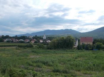
Szurdokpüspöki : Entdecken Sie die besten Touren : 5 zu Fuß. Alle diese Touren, Trails, Routen und Outdoor-Aktivitäten sind in unseren SityTrail-Apps für Smartphones und Tablets verfügbar.

Zu Fuß


• Trail created by MUTKE.
Zu Fuß
• Symbol: red triangle
Zu Fuß
• Folytatódik észak-kelet felé, együtt a P+ jelzéssel.

Zu Fuß
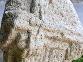
• Symbol: red cross

Zu Fuß
• Symbol: green triangle
5 Angezeigte Touren bei 5
Kostenlosegpshiking-Anwendung
 SityTrail
IGN / Geografische Institute
SityTrail World
Die Welt öffnet sich für Sie