


4,6 km | 5,1 km-effort
Angus : Entdecken Sie die besten Touren : 21 zu Fuß. Alle diese Touren, Trails, Routen und Outdoor-Aktivitäten sind in unseren SityTrail-Apps für Smartphones und Tablets verfügbar.
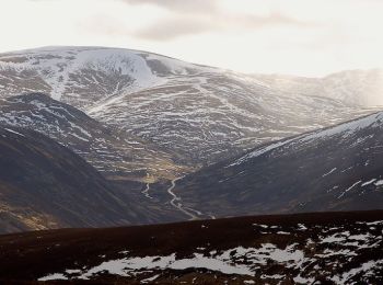
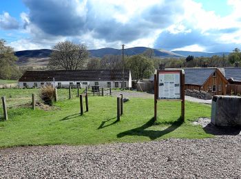
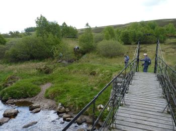
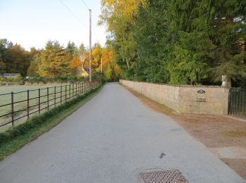
Zu Fuß


• Tour erstellt von Kirriemuir Path Network.
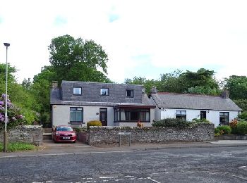
Zu Fuß
• Tour erstellt von Kirriemuir Path Network.
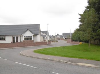
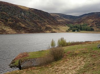
Zu Fuß
• Tour erstellt von Forfar Path Network.
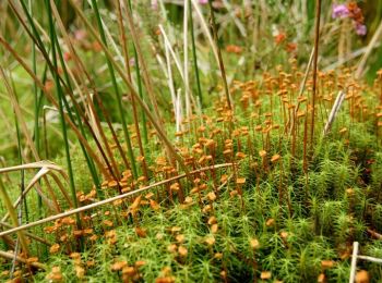
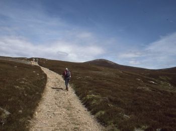
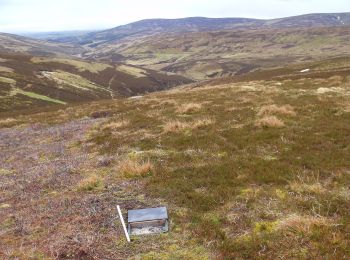
Zu Fuß
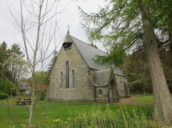
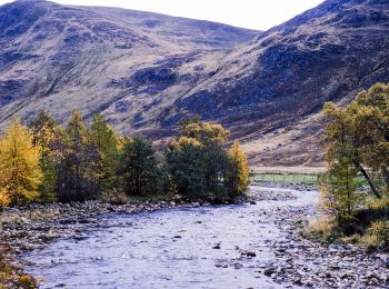
Zu Fuß
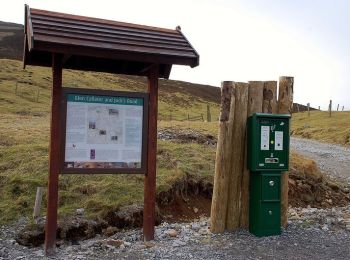
Zu Fuß
Zu Fuß
Zu Fuß
Zu Fuß
Zu Fuß
Zu Fuß
Zu Fuß
Zu Fuß
Zu Fuß
Zu Fuß
Zu Fuß
Zu Fuß
Zu Fuß
Zu Fuß
Zu Fuß
20 Angezeigte Touren bei 21
Kostenlosegpshiking-Anwendung
 SityTrail
IGN / Geografische Institute
SityTrail World
Die Welt öffnet sich für Sie