


3,1 km | 4,1 km-effort
Unbekannt : Entdecken Sie die besten Touren : 14 zu Fuß. Alle diese Touren, Trails, Routen und Outdoor-Aktivitäten sind in unseren SityTrail-Apps für Smartphones und Tablets verfügbar.
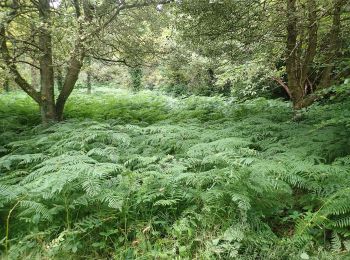
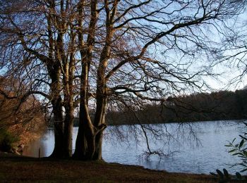
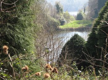
Zu Fuß


• Tour erstellt von Newry, Mourne and Down District Council.
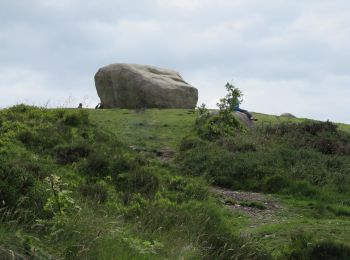
Zu Fuß
• Tour erstellt von Newry, Mourne and Down District Council.
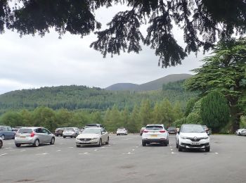
Zu Fuß
• Tour erstellt von Newry, Mourne and Down District Council.
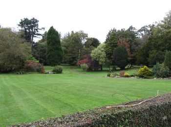
Zu Fuß
• Tour erstellt von Newry, Mourne and Down District Council.
Zu Fuß
• Tour erstellt von Newry, Mourne and Down District Council.
Zu Fuß
• Tour erstellt von Forest Service.
Zu Fuß
• Tour erstellt von Forest Service.
Zu Fuß
• Tour erstellt von Forest Service.
Zu Fuß
Zu Fuß
Zu Fuß
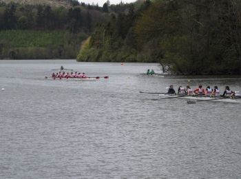
Laufen

Zu Fuß

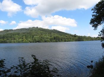
Wandern
•
14 Angezeigte Touren bei 14
Kostenlosegpshiking-Anwendung
 SityTrail
IGN / Geografische Institute
SityTrail World
Die Welt öffnet sich für Sie