


3,5 km | 3,9 km-effort
Shropshire : Entdecken Sie die besten Touren : 11 zu Fuß. Alle diese Touren, Trails, Routen und Outdoor-Aktivitäten sind in unseren SityTrail-Apps für Smartphones und Tablets verfügbar.
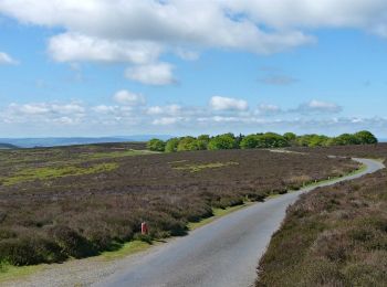
Zu Fuß


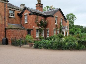
• Tour erstellt von National Trust.
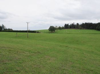
Zu Fuß
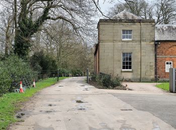
• Tour erstellt von National Trust.

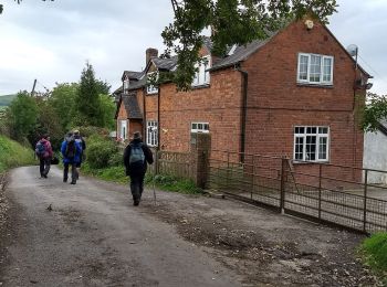
Zu Fuß
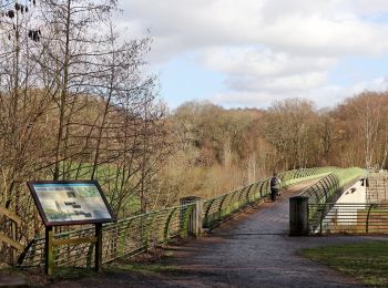
• Tour erstellt von Shropshire County Council. Symbol: Three Castles
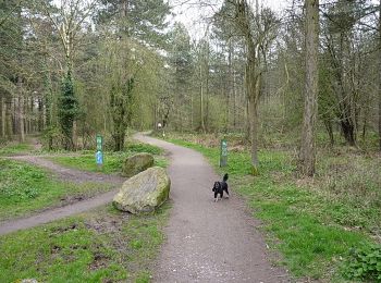
Zu Fuß
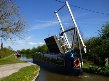
• Tour erstellt von Shropshire Council. Website: http://www.shropshire.gov.uk/countryside.nsf/viewAttachments/CDEN-8...
Zu Fuß
Zu Fuß
Zu Fuß
Zu Fuß
Zu Fuß
Zu Fuß
Zu Fuß

Motor
• More information on GPStracks.nl : http://www.gpstracks.nl
12 Angezeigte Touren bei 12
Kostenlosegpshiking-Anwendung
 SityTrail
IGN / Geografische Institute
SityTrail World
Die Welt öffnet sich für Sie