


10,2 km | 15,2 km-effort
Powys : Entdecken Sie die besten Touren : 10 zu Fuß. Alle diese Touren, Trails, Routen und Outdoor-Aktivitäten sind in unseren SityTrail-Apps für Smartphones und Tablets verfügbar.
Zu Fuß


Zu Fuß
• Tour erstellt von University of Wales, Gregynog. Symbol: Red Arrows
Zu Fuß
• Tour erstellt von University of Wales, Gregynog. Symbol: Blue Arrows
Wandern
• Que du hors piste !!!
Wandern
• LOST IN WALES, j'ai tourné en rond !!! HS !
Wandern
• J'ai traversé une rivière et j'ai pris un bain !!!

Wandern
• Que du hors piste !!!

Wandern
• J'ai traversé une rivière et j'ai pris un bain !!!
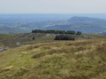
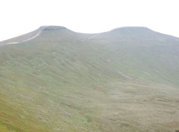
Wandern
• Belle montagne descente un peu longue

Wandern
• Belle montagne descente un peu longue
Schneeschuhwandern
• Je vais bien dormir
Wintersport
• Plutôt sympa vous ne trouvez pas ?
12 Angezeigte Touren bei 12
Kostenlosegpshiking-Anwendung
 SityTrail
IGN / Geografische Institute
SityTrail World
Die Welt öffnet sich für Sie