


8,1 km | 9,6 km-effort
Anglet : Entdecken Sie die besten Touren : 19 zu Fuß und 15 mit dem Fahrrad oder Mountainbike. Alle diese Touren, Trails, Routen und Outdoor-Aktivitäten sind in unseren SityTrail-Apps für Smartphones und Tablets verfügbar.
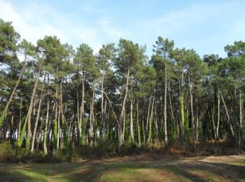
Wandern


Wandern
Radtourismus
Wandern
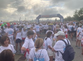
Laufen

Mountainbike
Wandern
Mountainbike

Wandern
Mountainbike
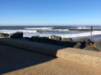
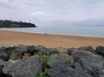
• bord des plages, estuaire de l'adour
Rennrad
Rennrad
Rennrad
Rennrad
Rennrad
Mountainbike
Mountainbike
Mountainbike
Mountainbike
Hybrid-Bike
20 Angezeigte Touren bei 38
Kostenlosegpshiking-Anwendung
 SityTrail
IGN / Geografische Institute
SityTrail World
Die Welt öffnet sich für Sie