


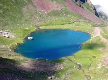
11,4 km | 26 km-effort
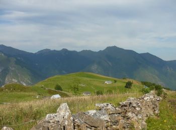
Eaux-Bonnes : Entdecken Sie die besten Touren : 85 zu Fuß und 2 mit dem Fahrrad oder Mountainbike. Alle diese Touren, Trails, Routen und Outdoor-Aktivitäten sind in unseren SityTrail-Apps für Smartphones und Tablets verfügbar.
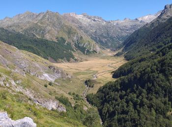
Wandern


Laufen

 13.922
sport
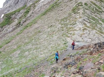
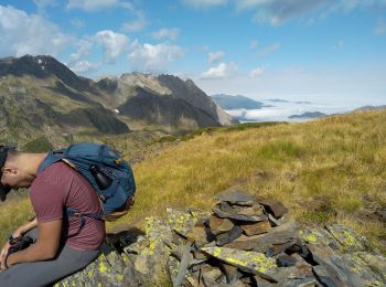
Zu Fuß
• Trail created by Communauté de Communes de la Vallée d'Ossau. Symbol: Trait jaune
Zu Fuß
• Trail created by Communauté de Communes de la Vallée d'Ossau. Symbol: Trait jaune Website: https://www.valleedossa...
Zu Fuß
• Trail created by Communauté de Communes de la Vallée d'Ossau. Symbol: Trait jaune Website: https://www.valleedossa...
Zu Fuß
• Trail created by Communauté de Communes de la Vallée d’Ossau. Symbol: Trait jaune Website: https://www.valleedossa...
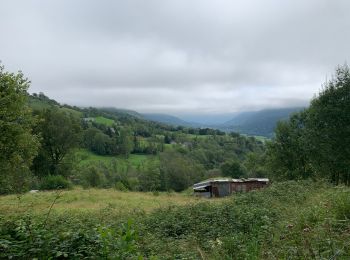
Wandern
Wandern
Wandern
Wandern
Wandern
Wandern
Wandern

Wandern
Wandern
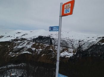
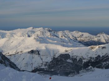
Schneeschuhwandern
• depuis la station de ski de Gourette - parking gratuit avant la station et prendre les télécabine (gratuit) pour le d...
Andere Aktivitäten
• Liaison par le proprio de l'hôtel jusqu'à La station de Ski. Vraiment un très raid dans les Pyrénées.
Laufen
Wandern
20 Angezeigte Touren bei 97
Kostenlosegpshiking-Anwendung
 SityTrail
IGN / Geografische Institute
SityTrail World
Die Welt öffnet sich für Sie